

Bruhat Bengaluru Mahanagara Palike
4.0
ratings6 MB
SizeVerified
SCREENSHOTS (8)
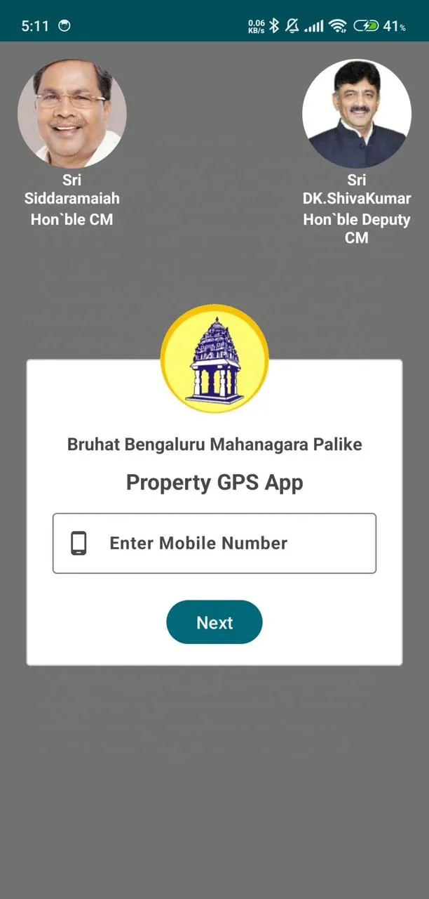
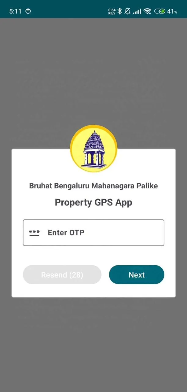
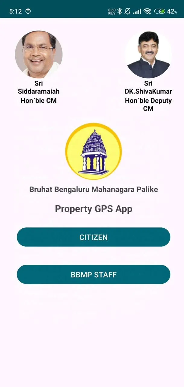
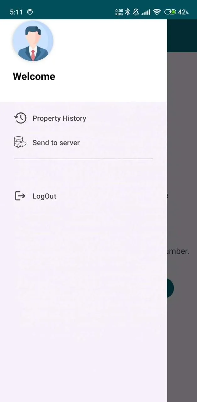
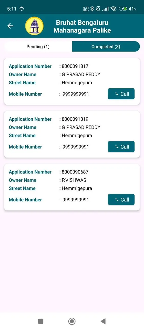
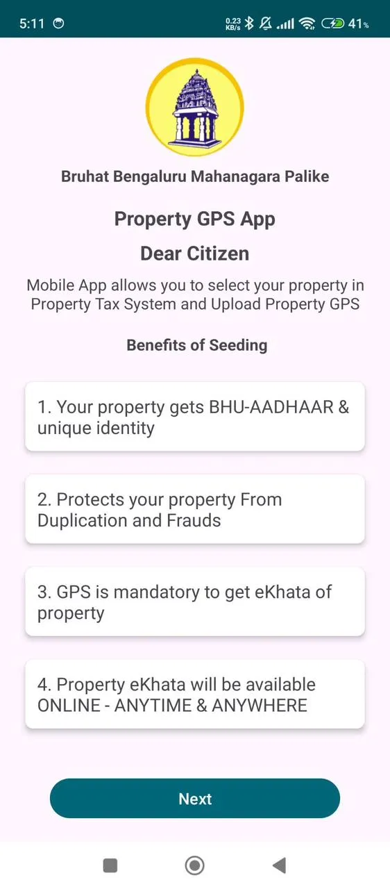
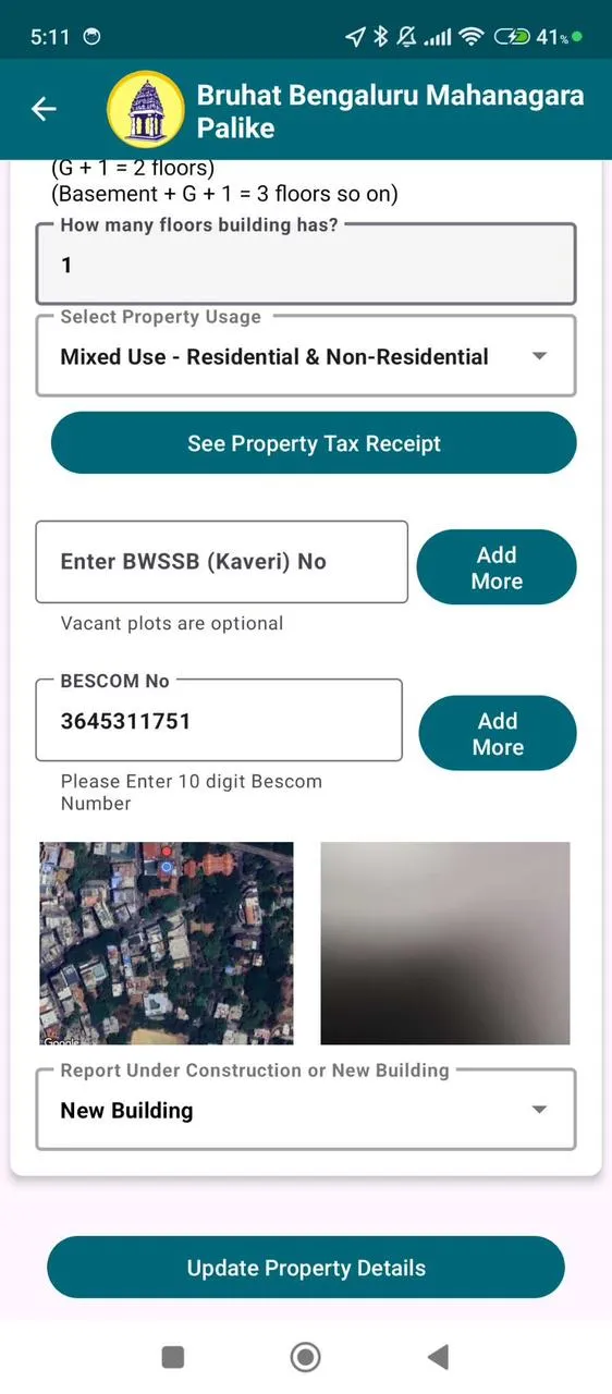
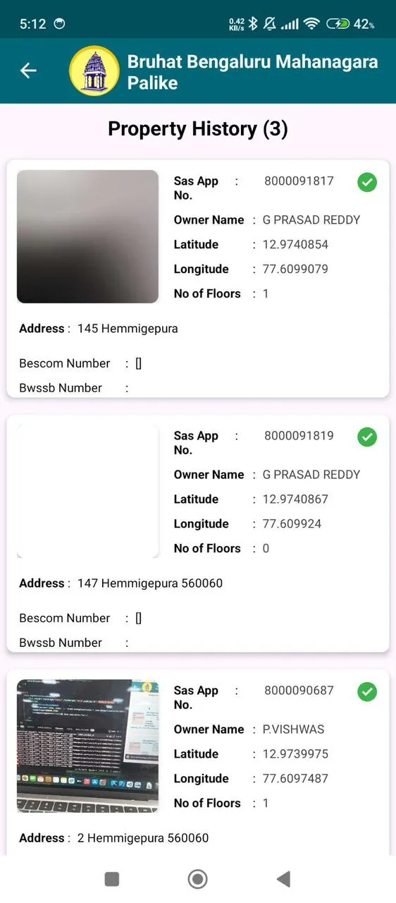
About the app
The Bruhat Bengaluru Mahanagara Palike (BBMP) uses GPS to capture property coordinates to help with property tax assessment, e-khata issuance, and other services:
Property tax assessment
BBMP officials use GPS to assess the location and area of properties to calculate taxes accurately.
E-khata issuance
BBMP staff visit properties to capture GPS coordinates, which are required to obtain an e-khata. The GPS coordinates act as a unique identifier for each property.
Reducing bureaucracy and corruption
The GPS coordinates help reduce bureaucracy and corruption in khata issuance.
Preventing misappropriation
The GPS coordinates help prevent misappropriation by ensuring that the same land cannot be claimed by multiple people.
Making property records accessible online
The GPS coordinates make property records accessible online, eliminating the need for in-person interactions.
Productivity
Ratings
0
0 total ratings
5
73%
4
10%
3
4%
2
3%
1
10%
REVIEWS
No reviews yet. Be the first one to review this app

Permissions
Location: access this device"s location
Storage: access photos, media, and files on your device
Internet: use your internet connection
Phone: make and manage phone calls
Curated for YouSee all






Scan to download on PhonePe Appstore