
Azure studio
4.0
ratings52 MB
SizeVerified
SCREENSHOTS (5)
About the app
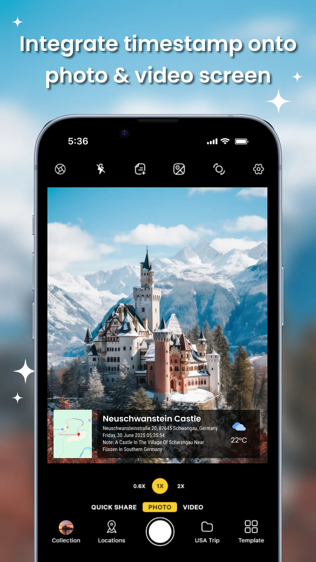
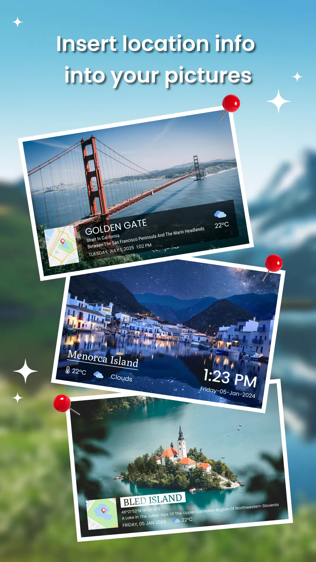
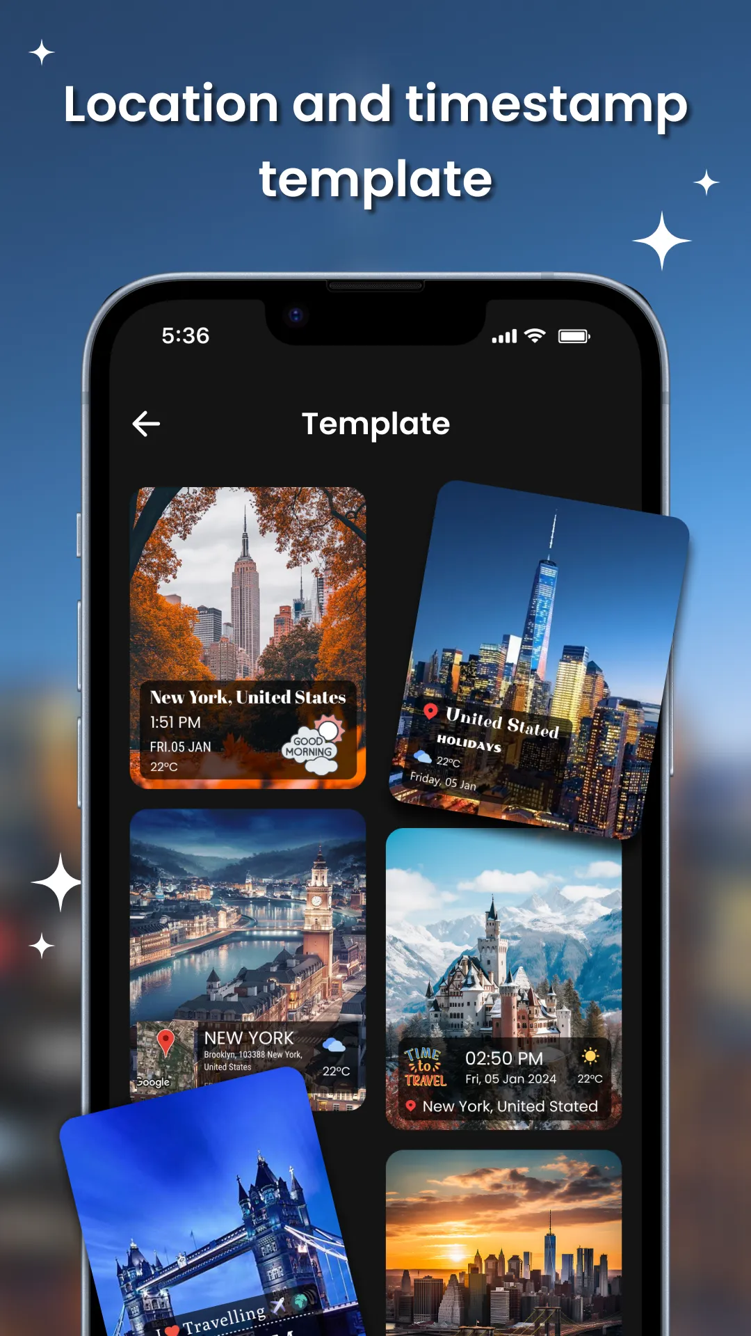
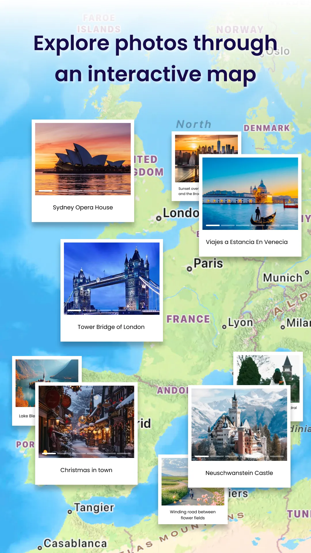
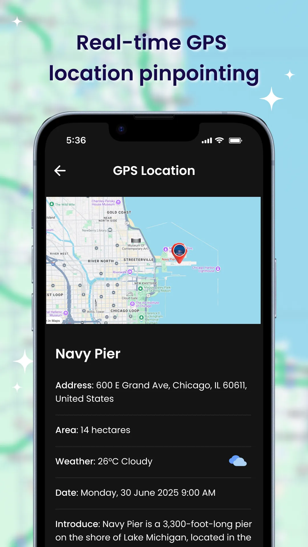
Live Earth Map: GPS Photo Tag lets you explore our planet from above in stunning detail. Switch to live satellite view, capture beautiful landscapes, and automatically tag your photos with accurate GPS location.
Whether you're a traveler, explorer, or simply love seeing the Earth from the sky — this app is your perfect companion.
Key Features:
✅ Live Earth Map View
Zoom in anywhere on Earth with real-time satellite imagery. Discover streets, cities, and nature in 3D or map view.
✅ Satellite & Street Modes
Switch between satellite, hybrid, terrain, and street view with a single tap.
✅ GPS Photo Tagging
Capture photos with built-in GPS location tagging. Save and share with exact coordinates.
✅ Location History
Track your photo journey with a timeline of where each photo was taken.
✅ Easy Sharing
Share your geo-tagged images via social media or messaging apps.
✅ Fast & Lightweight
Optimized for speed and works smoothly on most Android devices.
Explore the world from above, capture your moments, and never forget where they happened.
Download now and start mapping your memories!
Personalization
Ratings
0
0 total ratings
5
73%
4
10%
3
4%
2
3%
1
10%
REVIEWS
No reviews yet. Be the first one to review this app

Permissions
Location: access this device"s location
Storage: access photos, media, and files on your device
Internet: use your internet connection
Phone: make and manage phone calls
Developer Info
Curated for YouSee all






Scan to download on PhonePe Appstore