
Dev Library
4.0
ratings17 MB
SizeVerified
SCREENSHOTS (5)
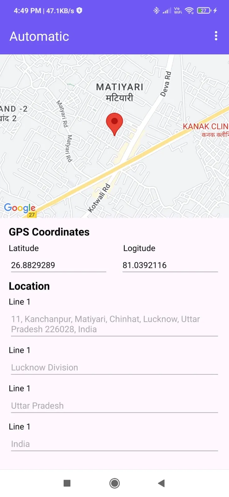
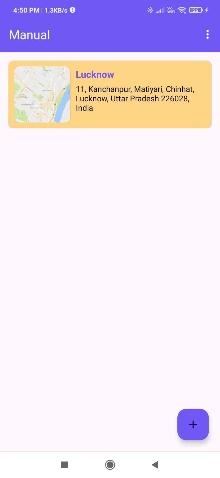
About the app
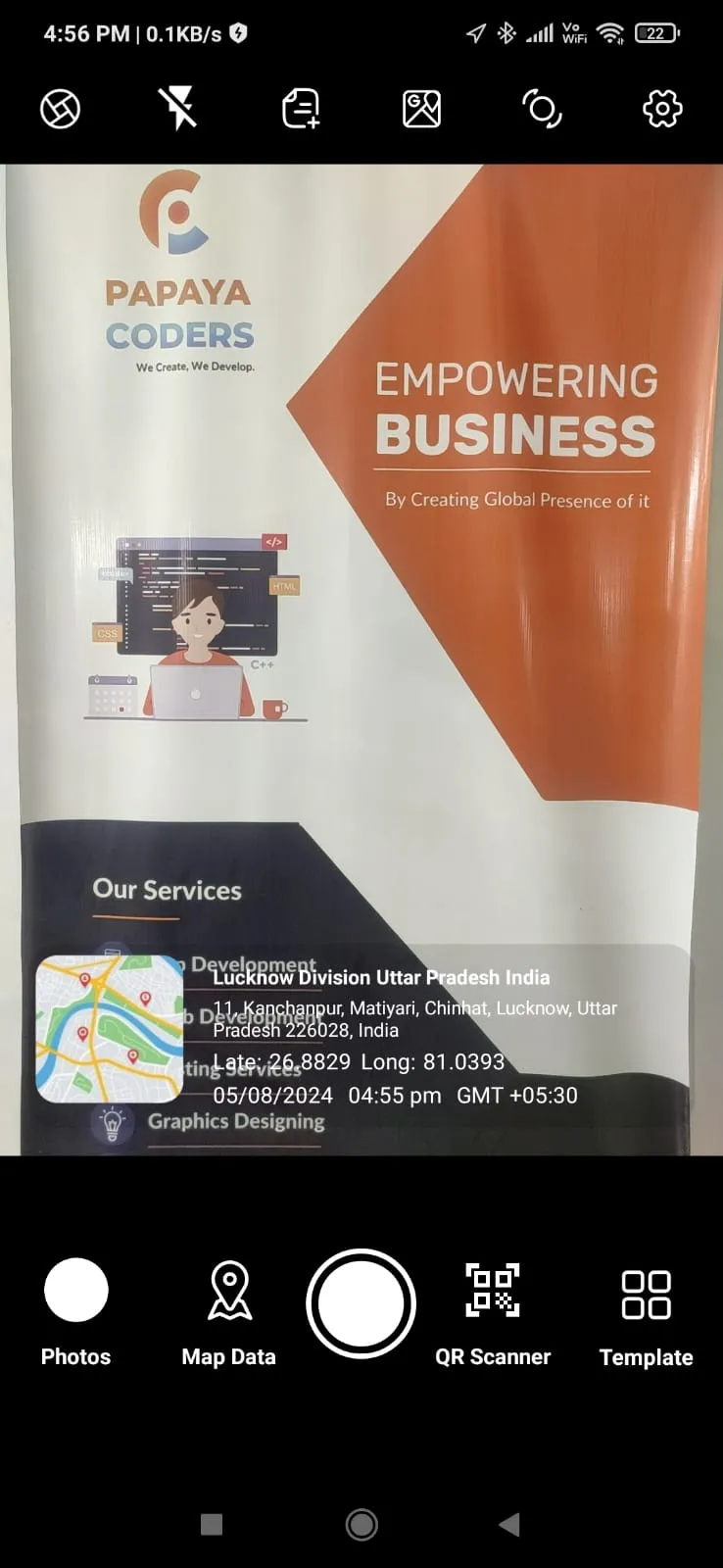
GPS Camera : GEO TAG Map is a powerful and versatile tool designed to capture photos while automatically attaching the location coordinates to the images. Perfect for travelers, surveyors, and professionals who need to document places with accuracy, the app integrates your device’s GPS capabilities to embed essential geolocation metadata, including latitude, longitude, altitude, and timestamp.
Key features include:
Real-time GPS data tagging for each photo.
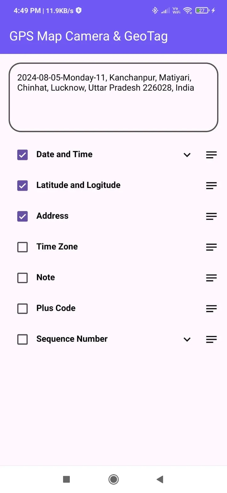
Customizable watermarks for location details, date, and time.
Interactive maps to view photo locations directly.
Options to add custom notes or location descriptions.
Easy sharing of geotagged photos for seamless collaboration.
Ideal for outdoor enthusiasts, real estate professionals, and field workers, GPS Camera : GEO TAG Map ensures that your photos are not only visually appealing but also geographically informative.
Personalization
Ratings
0
0 total ratings
5
73%
4
10%
3
4%
2
3%
1
10%
REVIEWS
No reviews yet. Be the first one to review this app

Permissions
Location: access this device"s location
Storage: access photos, media, and files on your device
Internet: use your internet connection
Phone: make and manage phone calls
Curated for YouSee all






Scan to download on PhonePe Appstore