

dieEinsteiger
4.0
ratings6 MB
SizeVerified
SCREENSHOTS (8)
About the app
The following line networks are offline available (without any additional download):
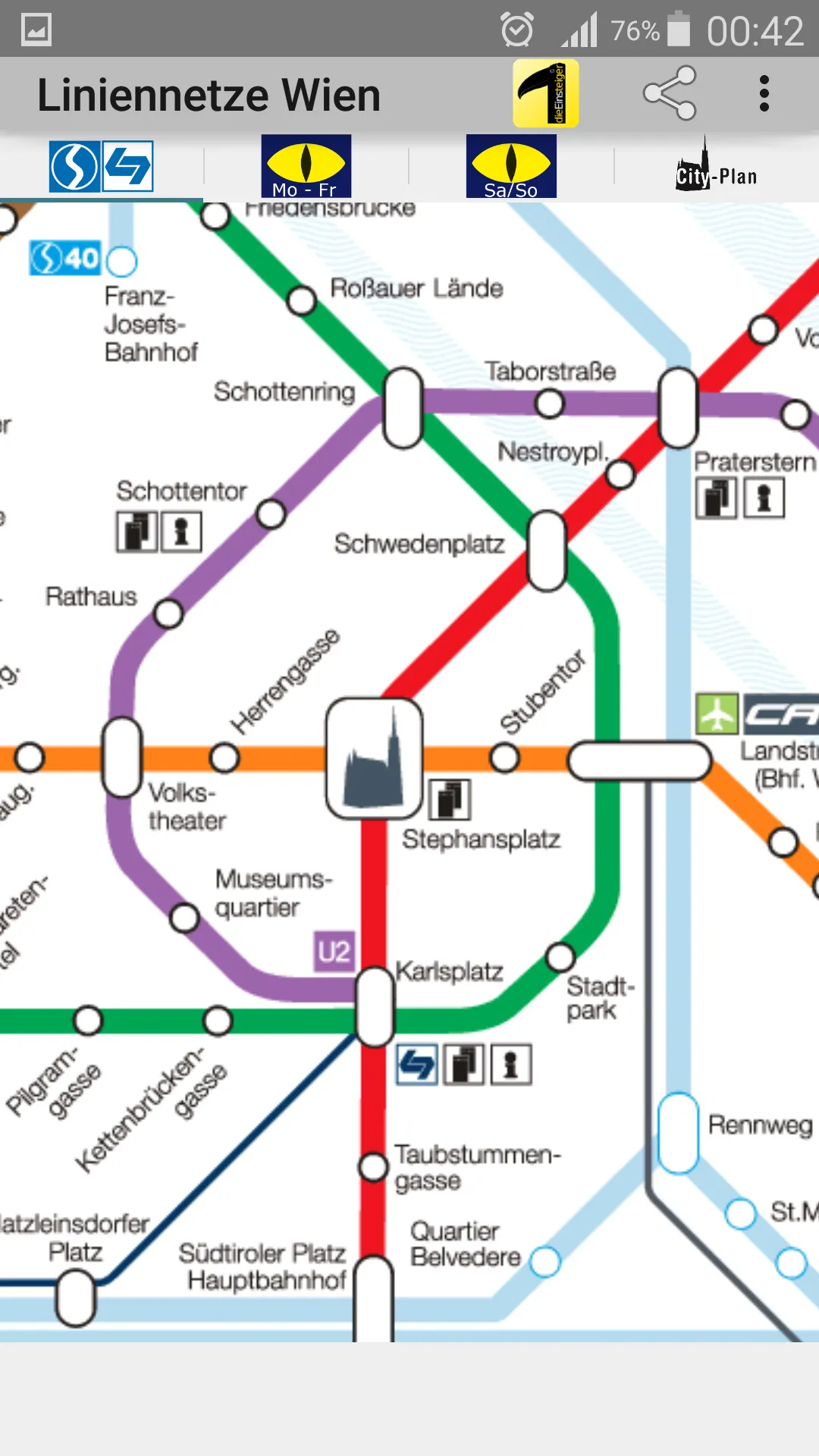
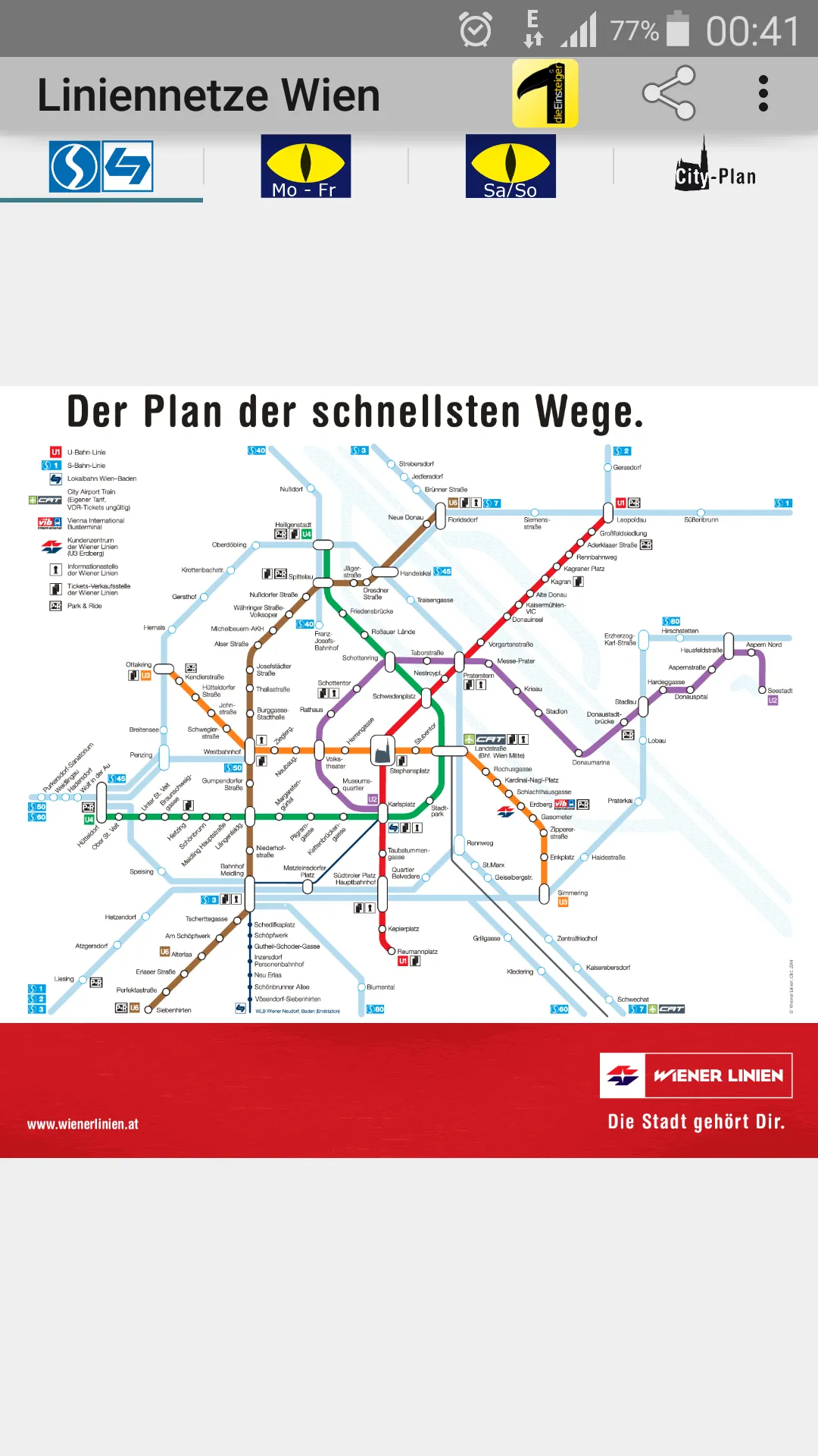
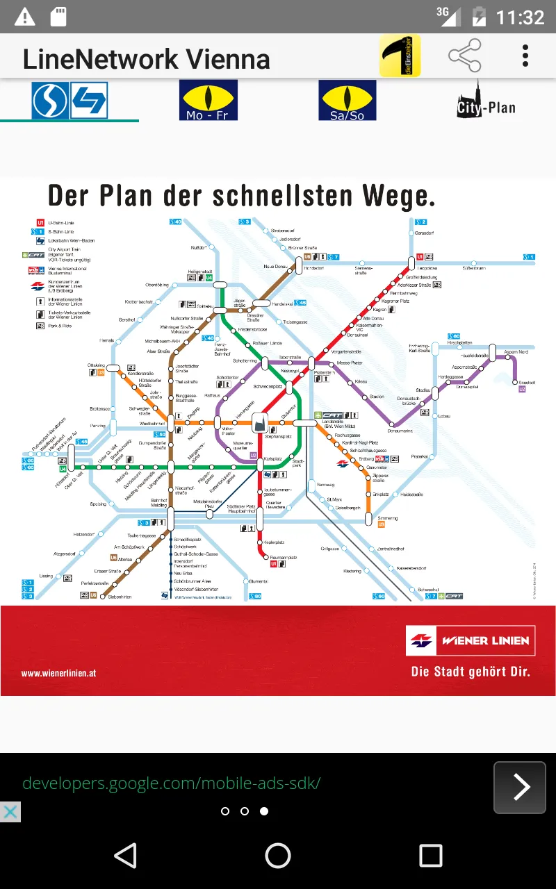
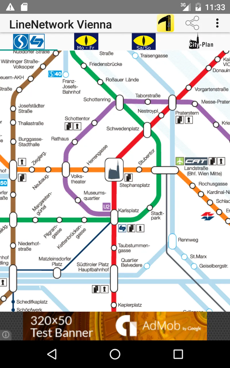
• On The Fast Track (underground, suburban rail (S-Bahn), city airport train and Badner Lokalbahn service)
• Tramway
• Vienna complete overview (underground, tramway, bus lines, suburban rail, railway and Badner Lokalbahn service)
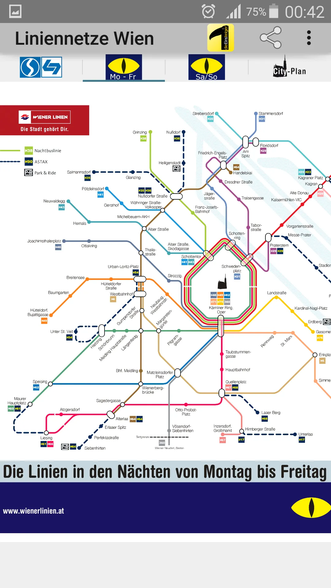
• Night Service On Workdays
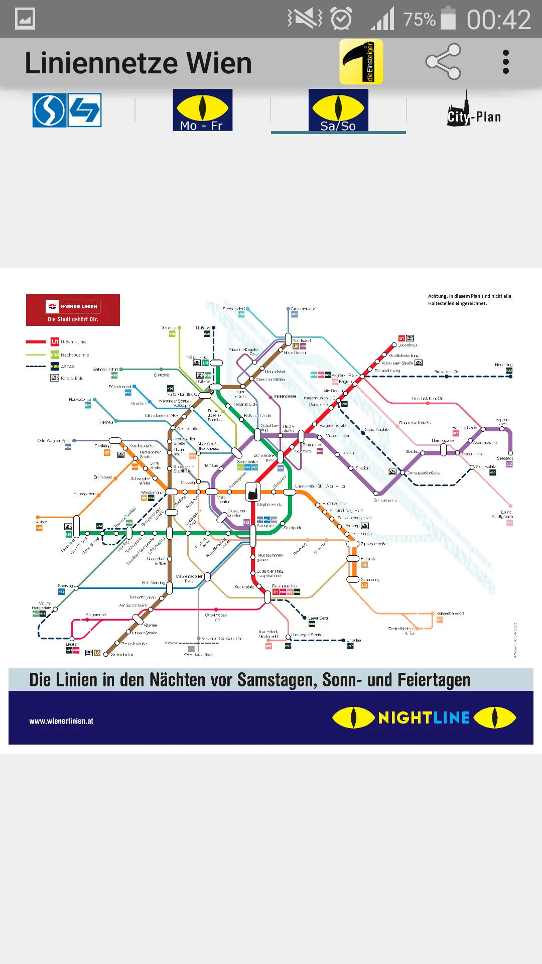
• Night Service: Weekends, Holidays
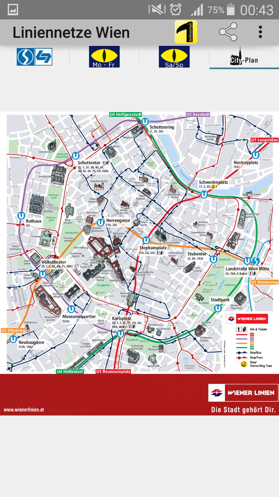
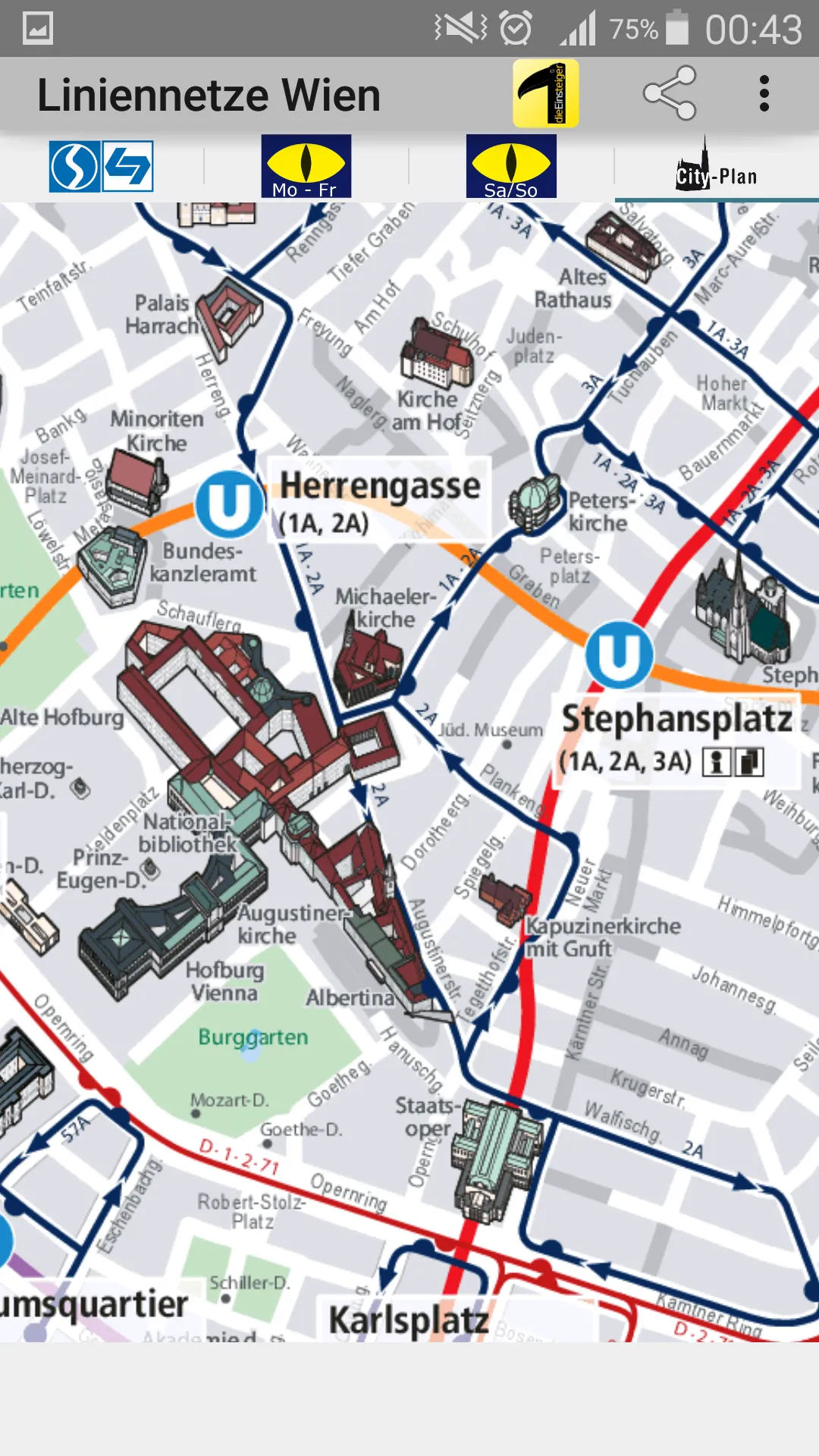
• City Lines (underground, tram and bus in city center)
Facebook: https://www.facebook.com/203994253076876
Homepage: https://dieeinsteiger.blogspot.com
Simple zoomable line network app for all Viennese and tourists!
All network maps are suitable for local public transport (LPT) in the Vienna tariff area. The app includes the route network for S-Bahn, U-Bahn, Badner Lokalbahn, City Airport Train, bus, ASTAX and night bus.
Just some simple maps, which you can use offline for scrolling around, zooming in and out. The App has a few tabs with different types of transit maps.
The metro line network is also known as underground, rail transit map, urban tube map or public subway.
You can leave suggestions for improvement, ideas, wishes or simply feedback by e-mail or in the respective contact form on the following page: https://dieeinsteiger.blogspot.com/p/kontakt.html
Notices:
• Usable with phone and tablet with Android 4.4 (KitKat, API 19) to Android 13.0 (API 33).
• The content of the apps is not guaranteed to be accurate or complete.
• The embedded maps in this app be subject to the Copyright of the WIENER LINIEN GmbH & Co KG. The tram network be subject to the Creative-Commons license (CC BY-SA 3.0) and were created by German Wikipedia-User Metrophil (copyright holder).
Have fun in the Google Play Store, dieEinsteiger.
Maps and Navigation
Ratings
0
0 total ratings
5
73%
4
10%
3
4%
2
3%
1
10%
REVIEWS
No reviews yet. Be the first one to review this app

Permissions
Storage: access photos, media, and files on your device
Internet: use your internet connection
Phone: make and manage phone calls
Curated for YouSee all






Scan to download on PhonePe Appstore