

4.0
ratings53 MB
SizeVerified
SCREENSHOTS (8)
About the app
Kadal Map – Marine Navigation System
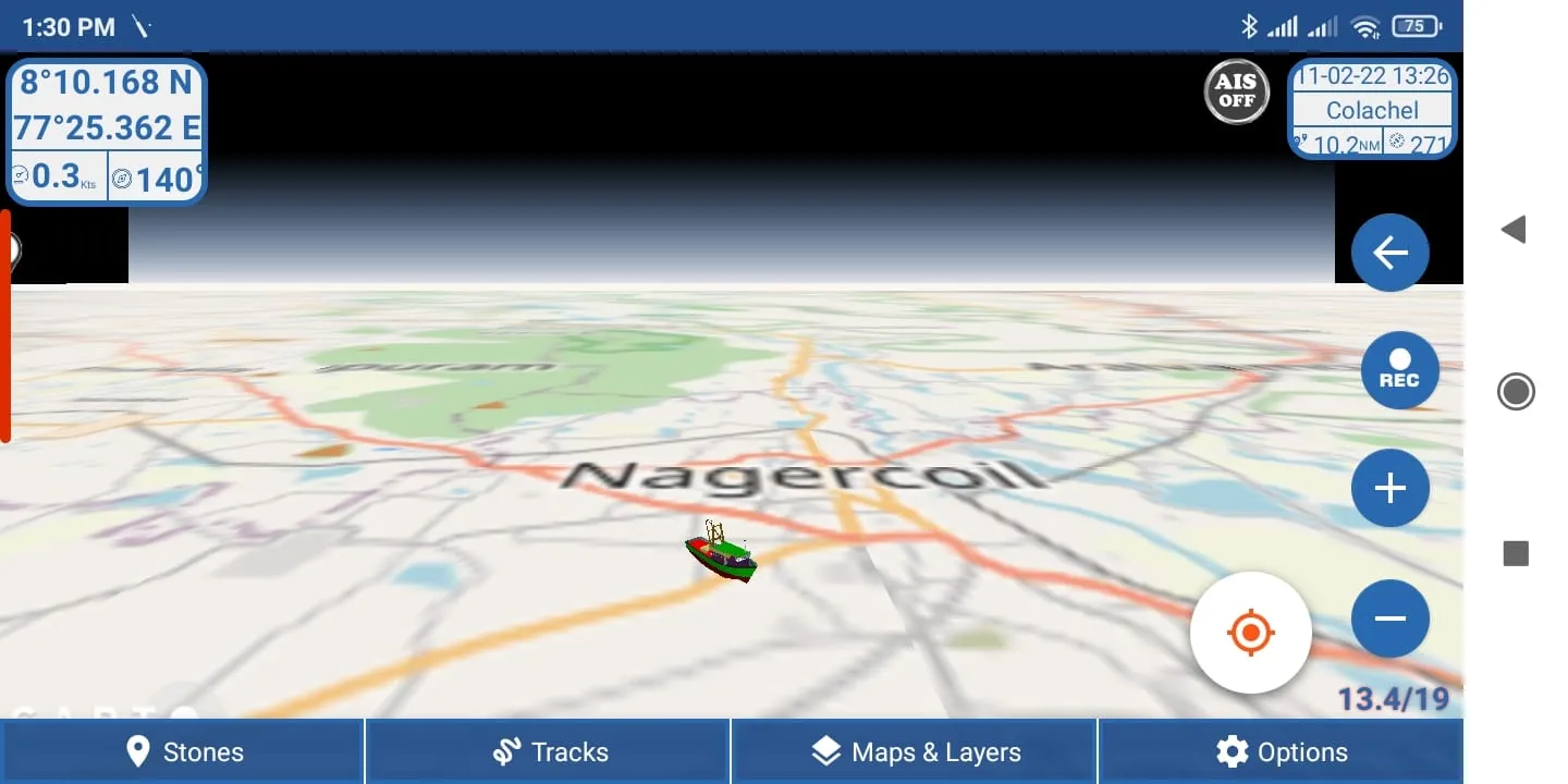
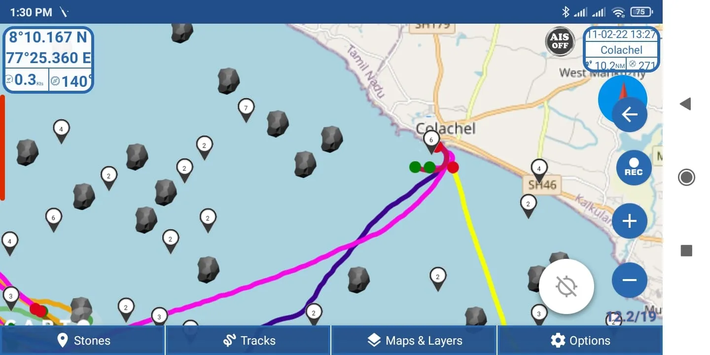
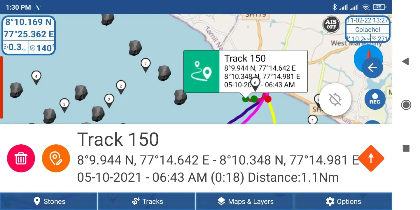
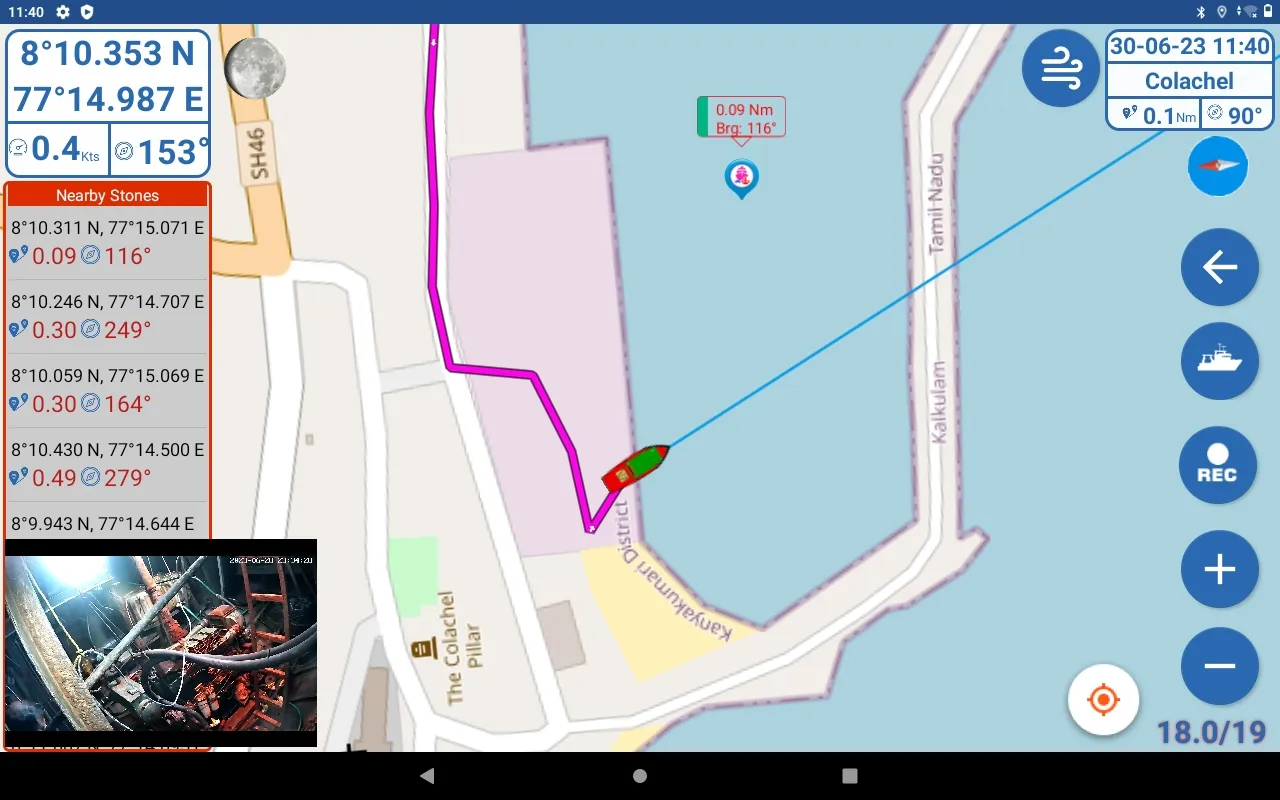
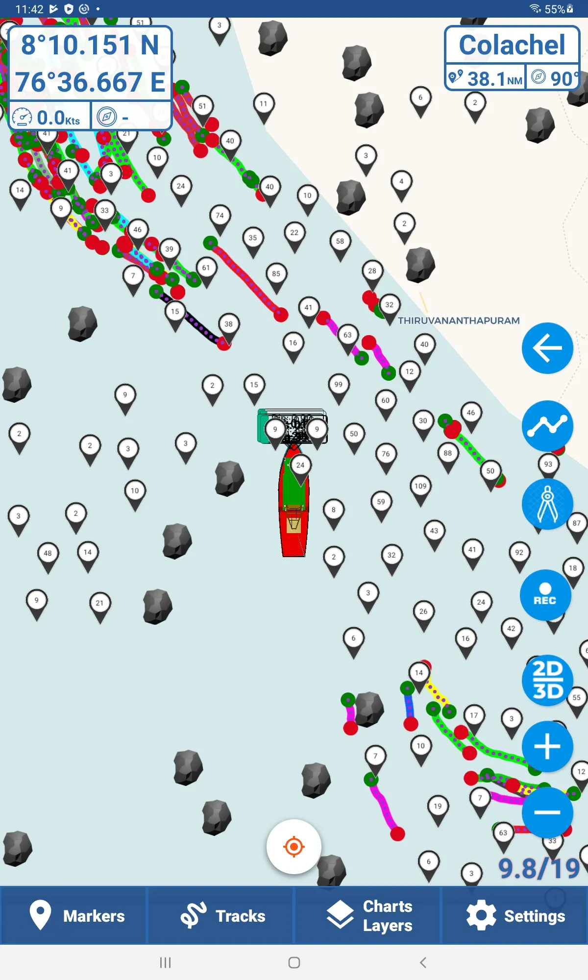
Simple Marine Navigation System designed for fishing boats. Helps you record fishing tracks, find stones under the sea, and navigate with ease.
Built-in AIS support lets you view nearby ships directly around your boat.
Features:
• Easy to use
• Unlimited Waypoints
• Unlimited Tracks
• Distance Scale
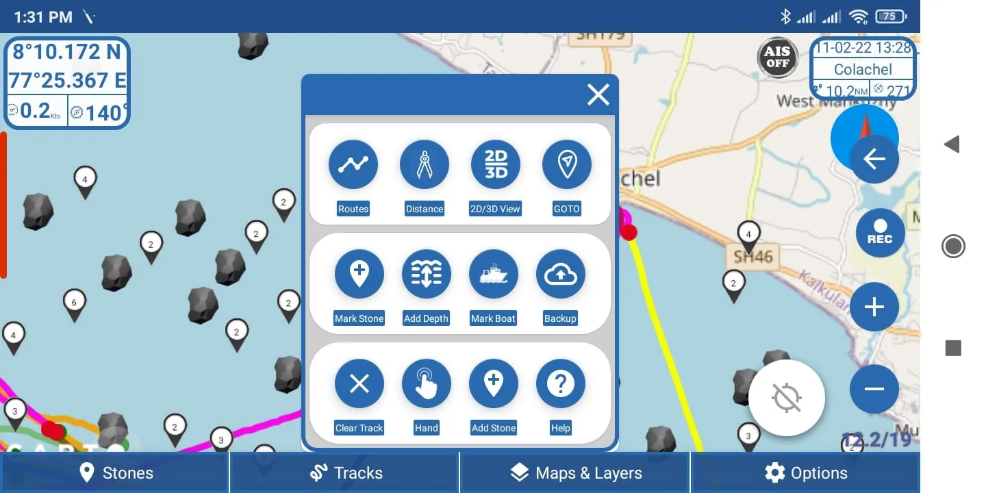
• Create and manage Routes
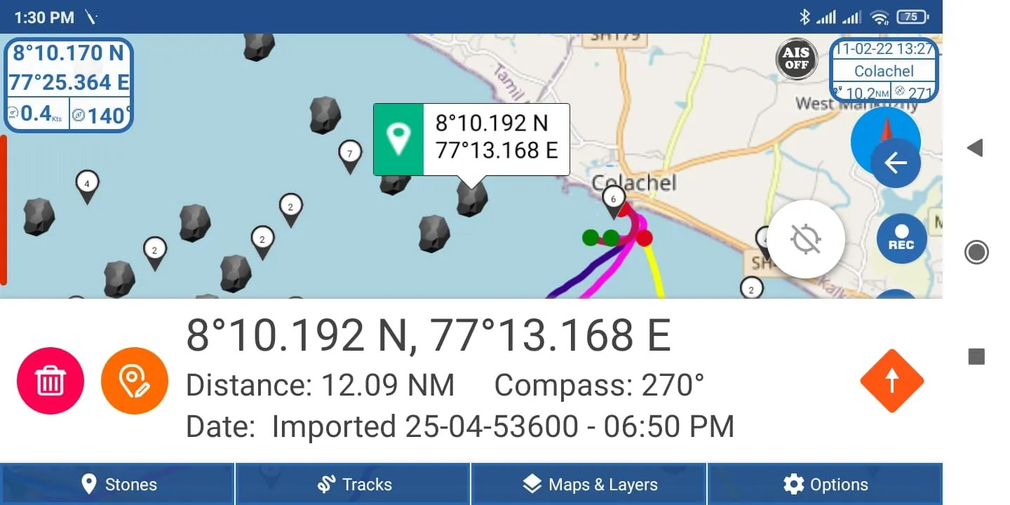
• Add Waypoints, Stones, and Depth easily
• Cloud Backup
• Share Tracks and Stones with friends
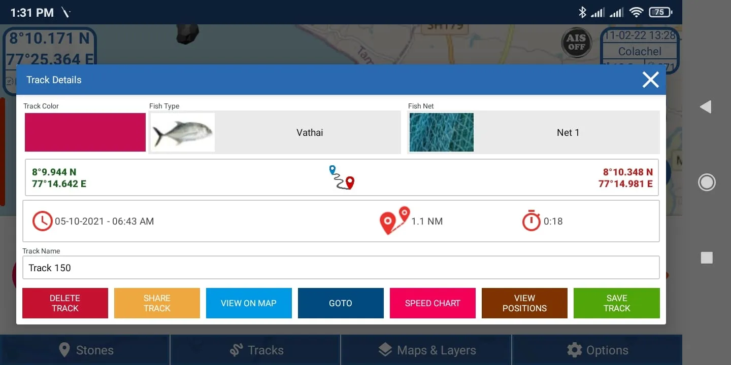
• Save caught fish details with each track
• Works with advanced Bluetooth GPS
• AIS Feature – View nearby ships using an AIS receiver
• Import / Export your Waypoints and Tracks in GPX Format
• Import Offline MBTiles Maps for Custom Chart Display
⚠️ Important Notes
• You can import your own MBTiles Charts for offline use.
Make sure that the maps you import are free to use or properly licensed.
Using or distributing copyrighted commercial maps without permission is not allowed.
• When importing GPX files (stones, waypoints, or tracks), users are responsible for the accuracy, ownership, and safety of the data they import or share.
• Kadal Map is not responsible for any loss, damage, or disputes caused by external or user-imported data.
To buy Bluetooth GPS and AIS Receivers, visit: www.kadalmap.com
Maps and Navigation
Ratings
0
0 total ratings
5
73%
4
10%
3
4%
2
3%
1
10%
REVIEWS
No reviews yet. Be the first one to review this app

Permissions
Location: access this device"s location
Storage: access photos, media, and files on your device
Internet: use your internet connection
Phone: make and manage phone calls
Developer Info
Curated for YouSee all





Scan to download on PhonePe Appstore