
Edip Ahmet Taskin
4.0
ratings91 MB
SizeVerified
SCREENSHOTS (7)
About the app
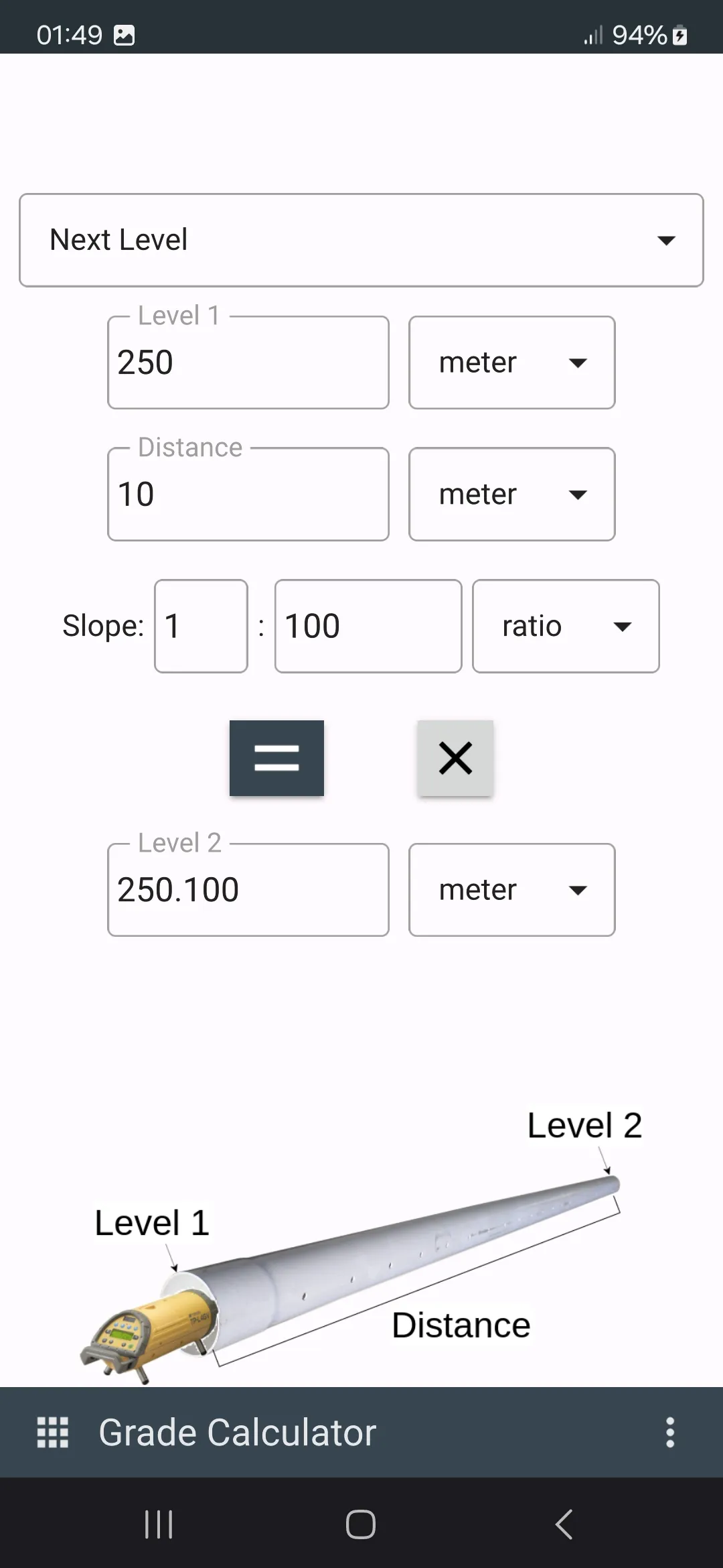
Geoclass Surveying Calculator has powerful tools for surveying, setting out and civil engineering.
Geoclass supports metric and imperial units for distance and area. Coordinate units are in metric and degree.
Using Geoclass you can do:
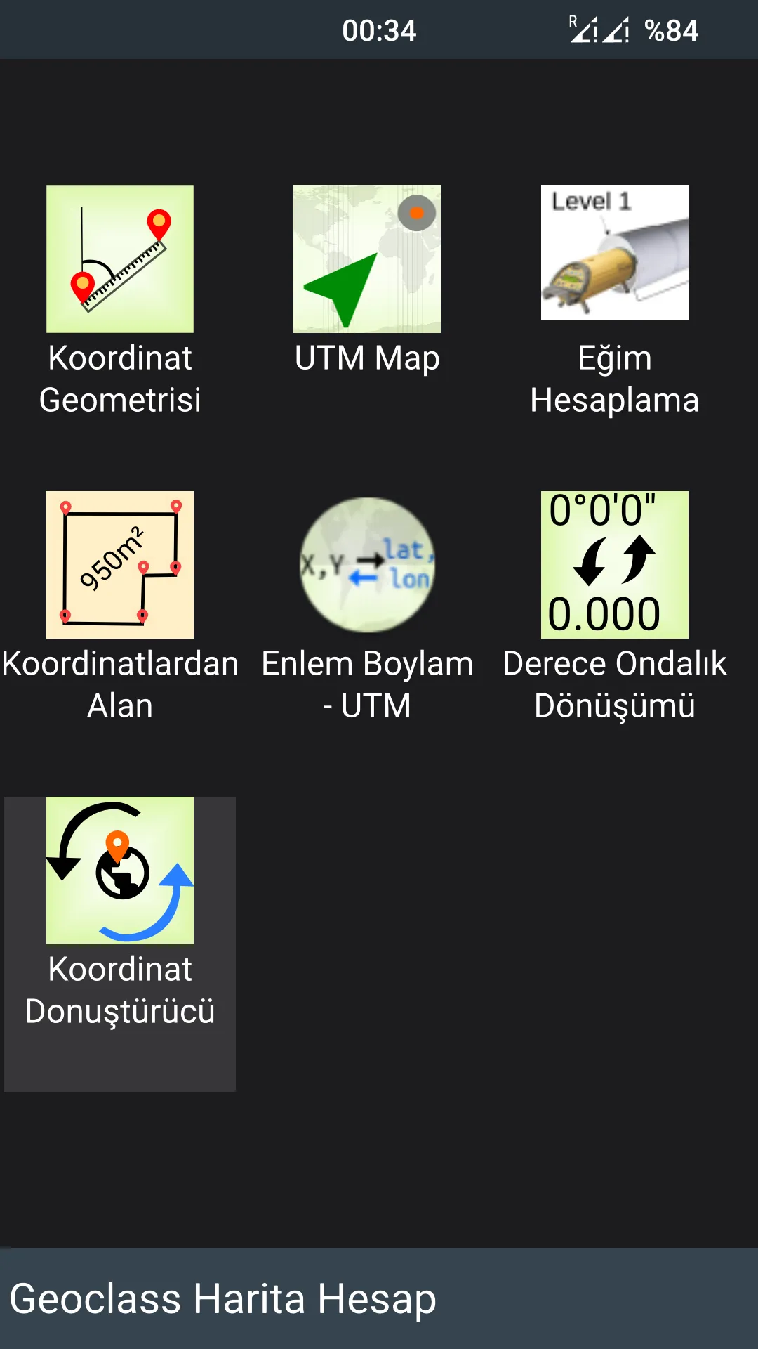
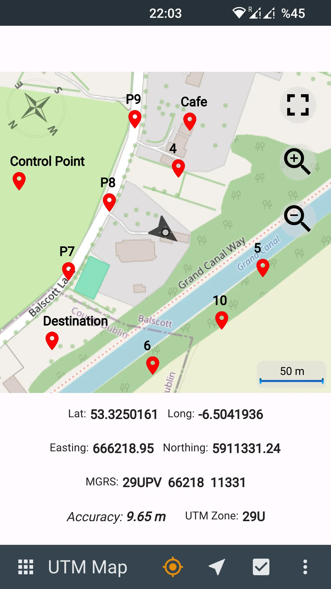
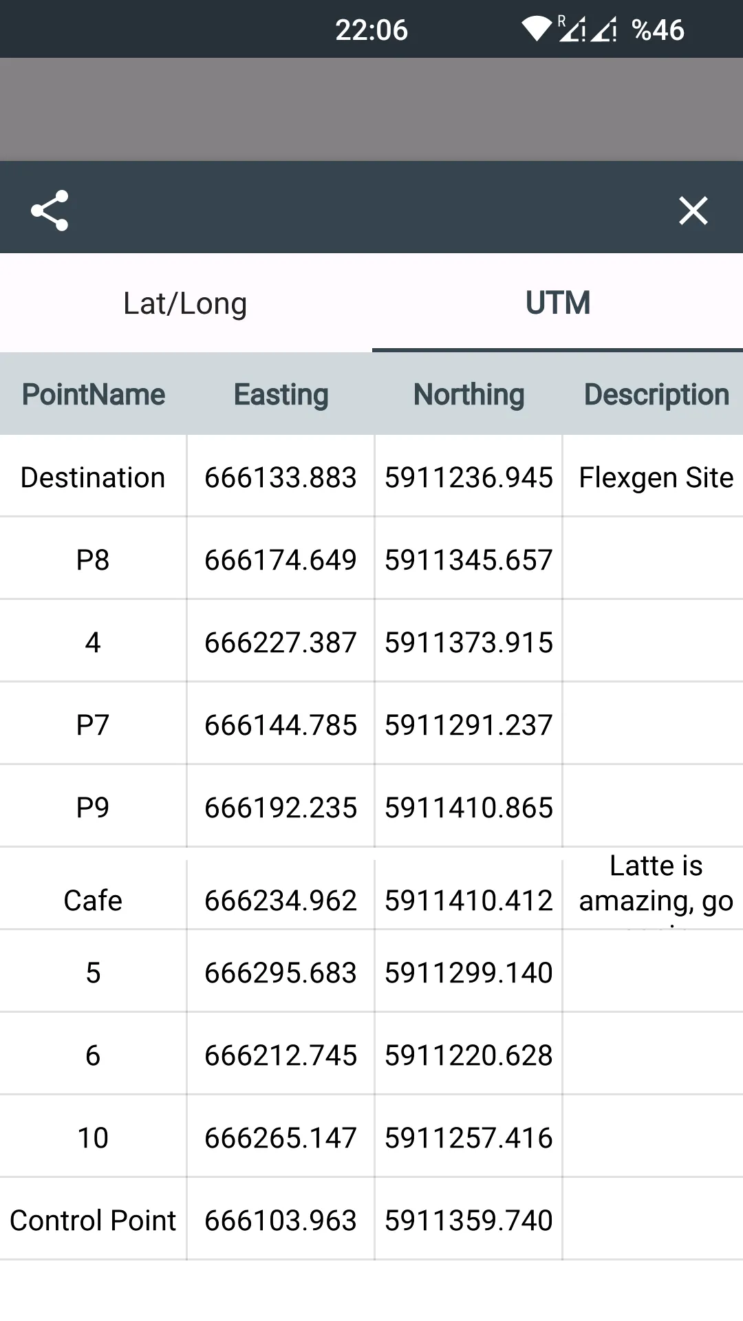
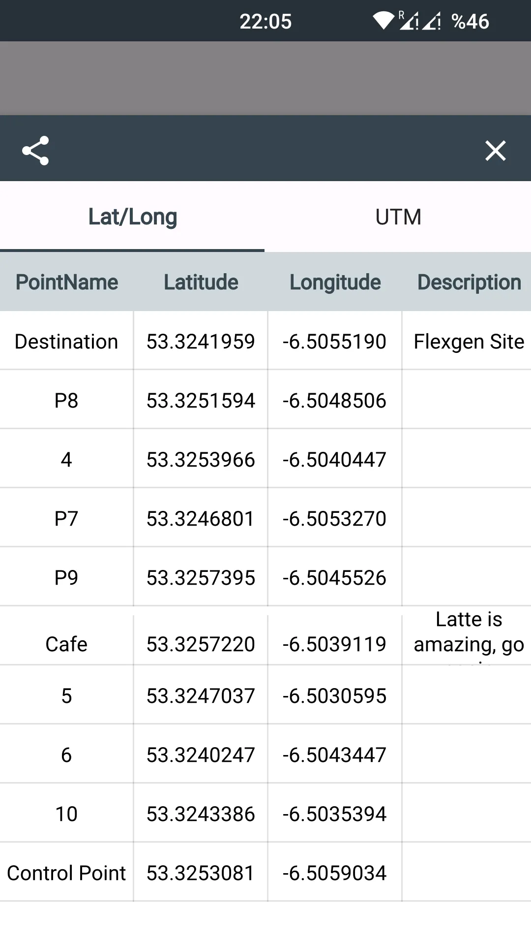
- Collect points: You can collect points and share the points with UTM Map module. You can also navigate to the points.
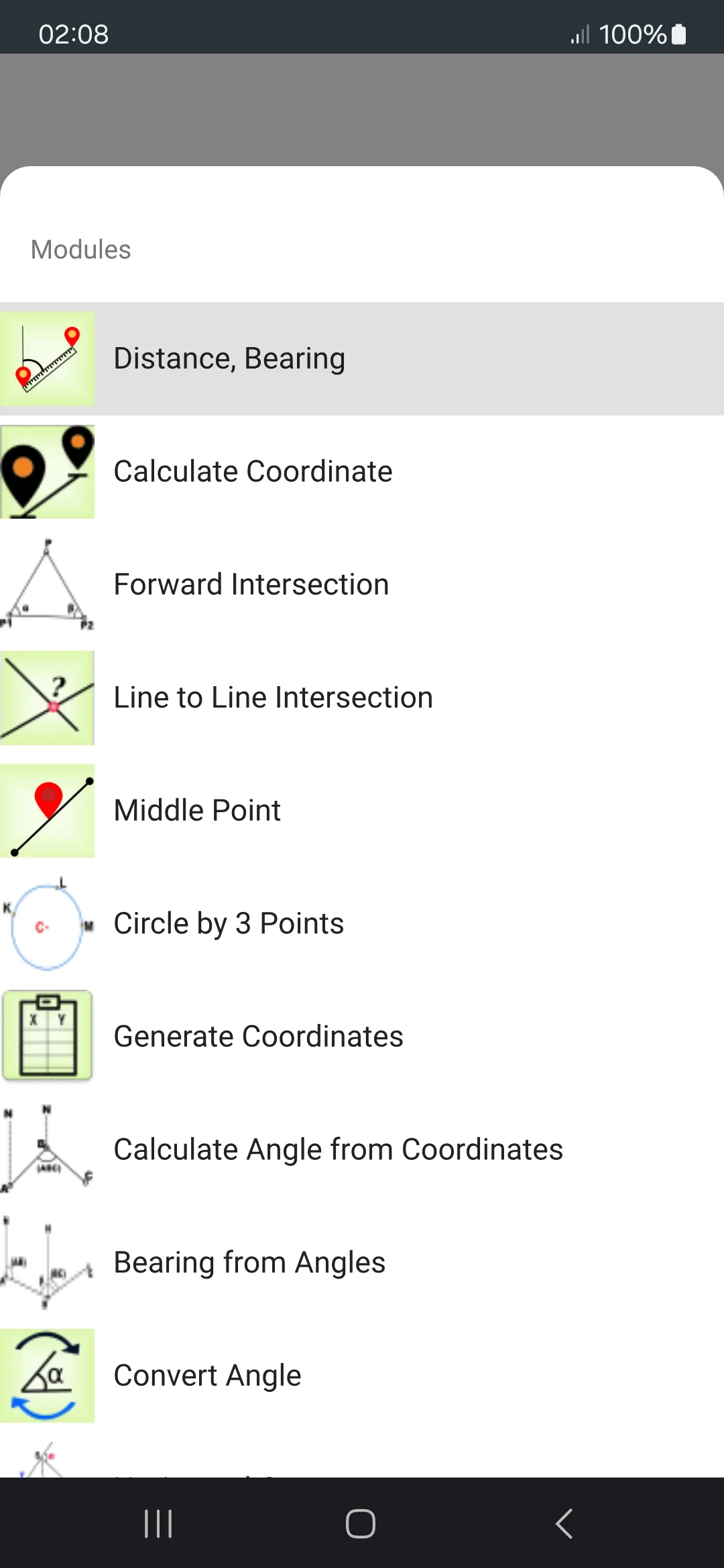
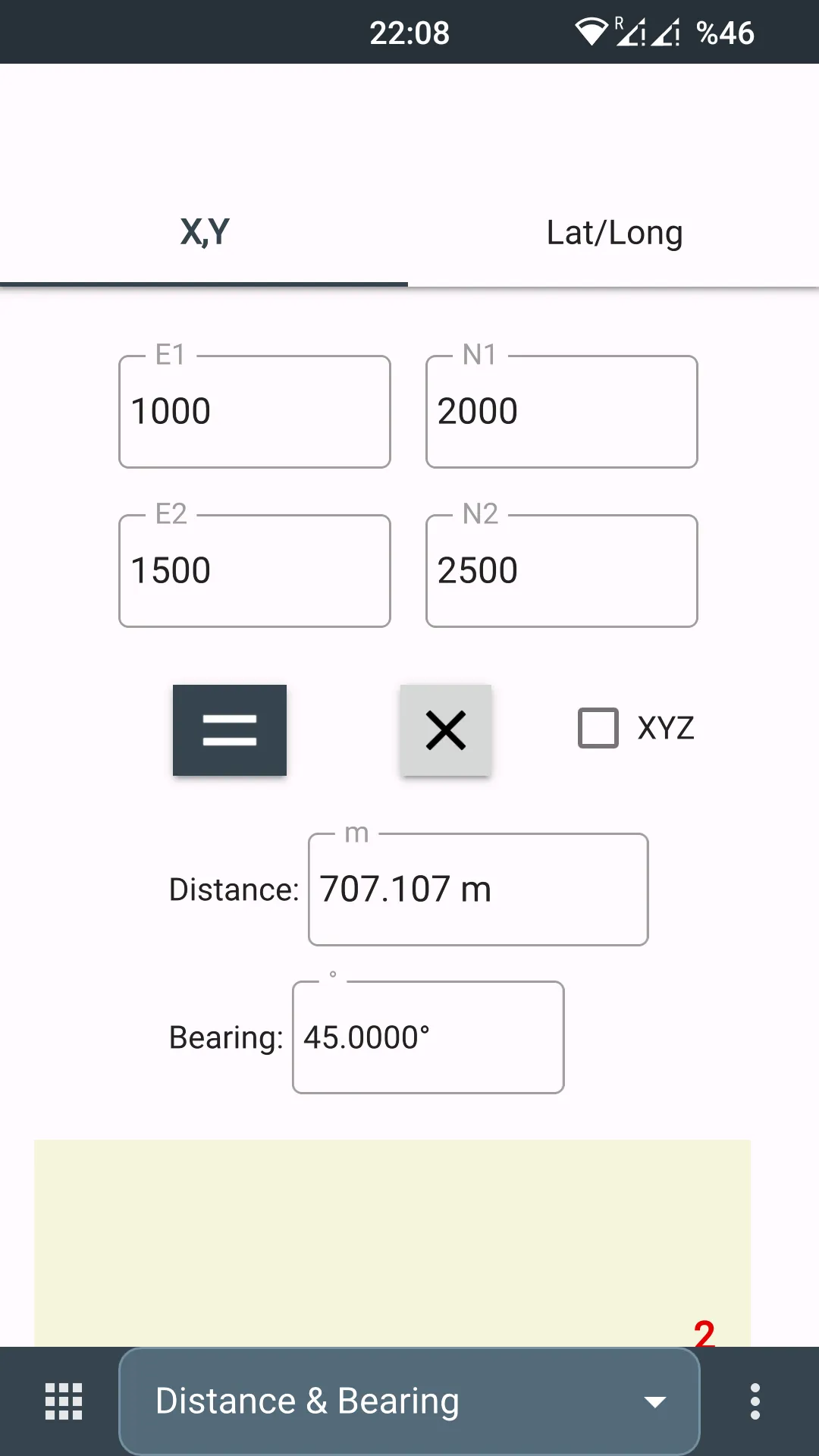
- Measure distance, bearing / azimuth from two points.
- Measure angle from 3 points.
- Calculate latitude, longitude or X,Y from coordinate, distance and bearing / azimuth.
- Intersections; forward, line - line and circle by 3 points
- Convert latitude longitude to UTM or vice versa
- Calculate decimal to degree, minute, second
- Stake out latitude and longitude coordinates. Navigate to it from your position with distance label on the map
- Navigate to coordinate from your position on the map
- Display UTM location on online maps with latitude, longitude, MGRS, X,Y coordinates
- Generate coordinates from two points. You can generate using X,Y or latitude, longitude
- Convert local coordinates
- Calculate area from X,Y coordinates
You can follow news about the app on Facebook Page:
fb.me/surveyingcalculator
Maps and Navigation
Ratings
0
0 total ratings
5
73%
4
10%
3
4%
2
3%
1
10%
REVIEWS
No reviews yet. Be the first one to review this app

Permissions
Location: access this device"s location
Storage: access photos, media, and files on your device
Internet: use your internet connection
Developer Info
Curated for YouSee all






Scan to download on PhonePe Appstore