
LAASYA INFOTECH
4.0
ratings53 MB
SizeVerified
SCREENSHOTS (7)
About the app
Measure Land, Fields, and Distance Accurately with GPS Land Area Measurement App
Turn your smartphone into a professional land measurement tool with the GPS Land Area Measurement app. This user-friendly and precise tool helps users measure land area, calculate field boundaries, and track distances using advanced GPS technology. Whether you're measuring property, planning a construction site, or working on farmland, this app delivers fast and reliable results.
Why Choose GPS Land Area Measurement?
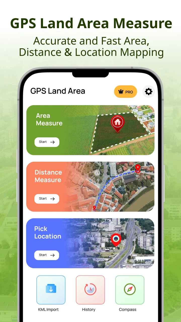
Our app is designed for land surveyors, farmers, civil engineers, real estate professionals, and outdoor explorers who need a simple yet powerful tool to measure land, field area, and distances. With real-time GPS tracking, map-based marking, and multiple measurement modes like area measurement, distance measurement and Compass Direction.
Core Features:
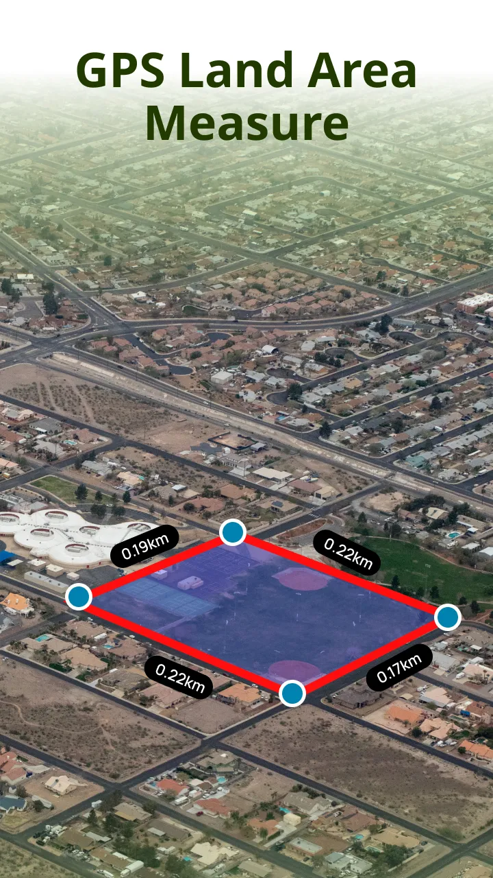
GPS Land Area Measure
Use your phone's GPS to accurately measure land areas by walking or placing map pins.
GPS Field Area Measure
Ideal for agricultural use. Measure fields, plots, irrigation land, or forest zones easily.
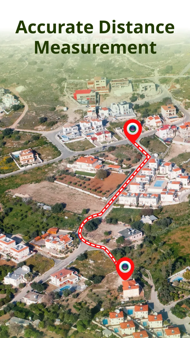
GPS Distance Measure
Calculate the straight-line or route-based distance between two or more points on the map.
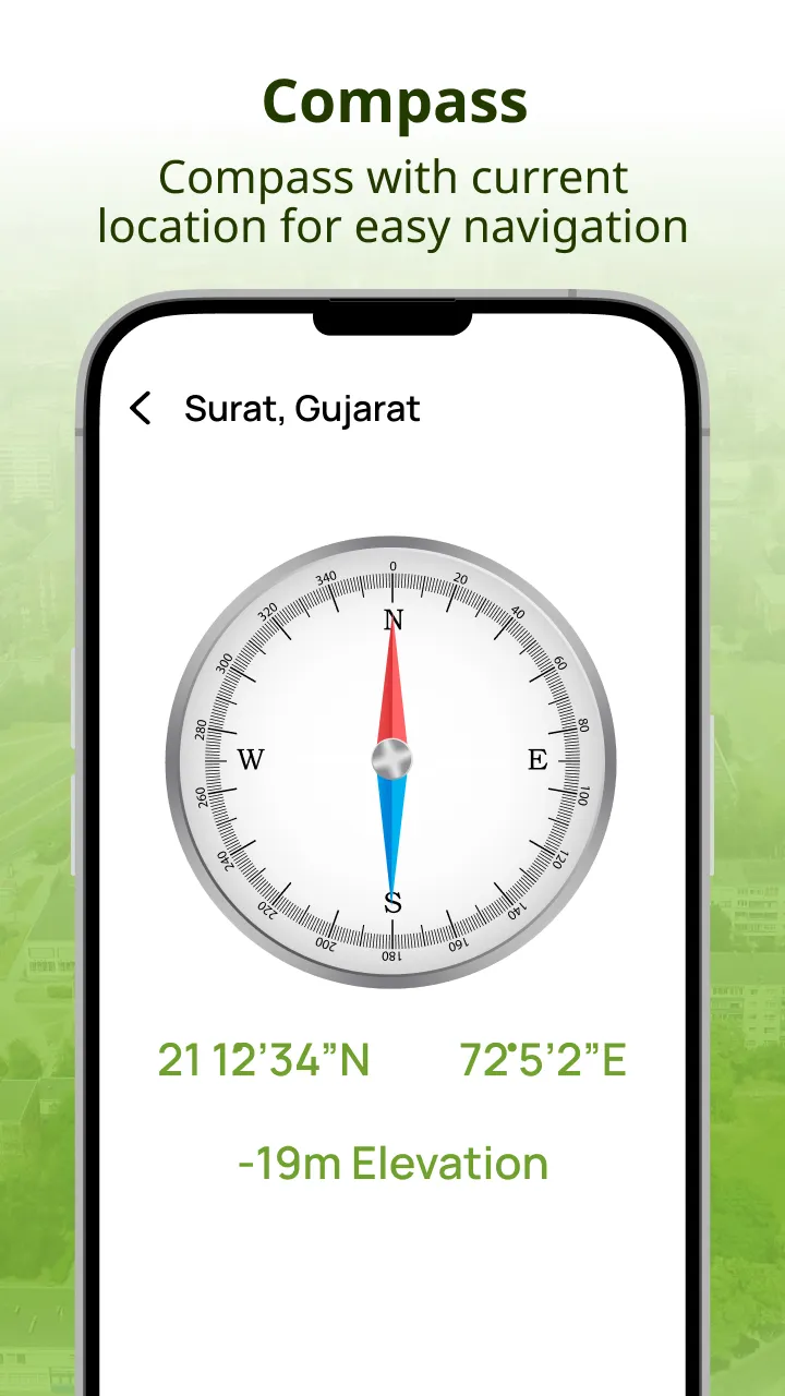
GPS Compass and Navigation
Navigate to any location with a built-in compass and location direction support.
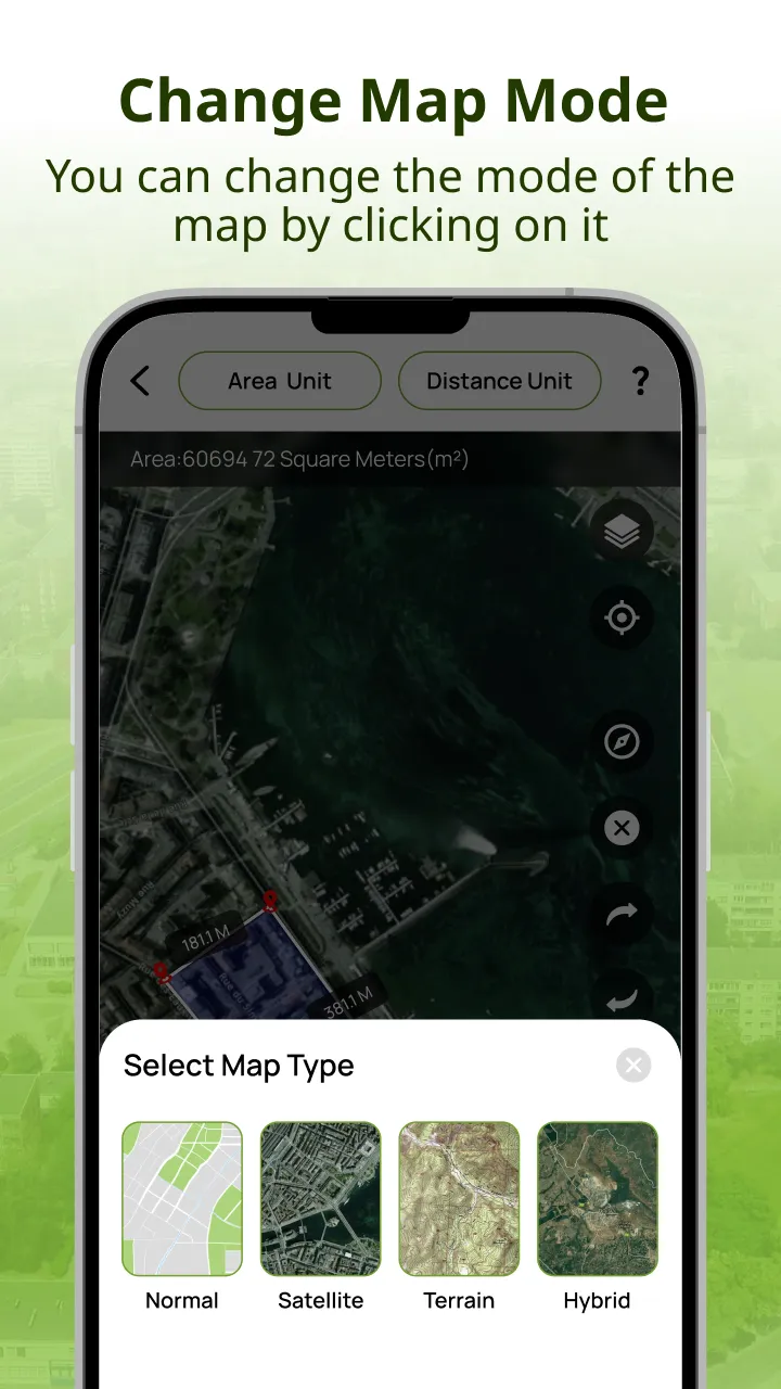
Satellite, Hybrid, and Normal Maps
Choose different map types for improved accuracy while measuring land and distances.
Multiple Units Support
Measure land in acres, hectares, square meters, square feet, kilometers, and miles.
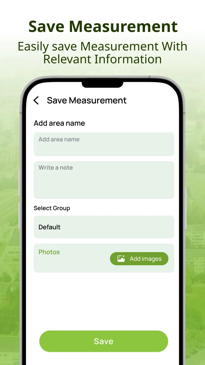
Save and Organize Your Measurements
Store all your measurements, assign custom names, and access them later.
Advanced Capabilities:
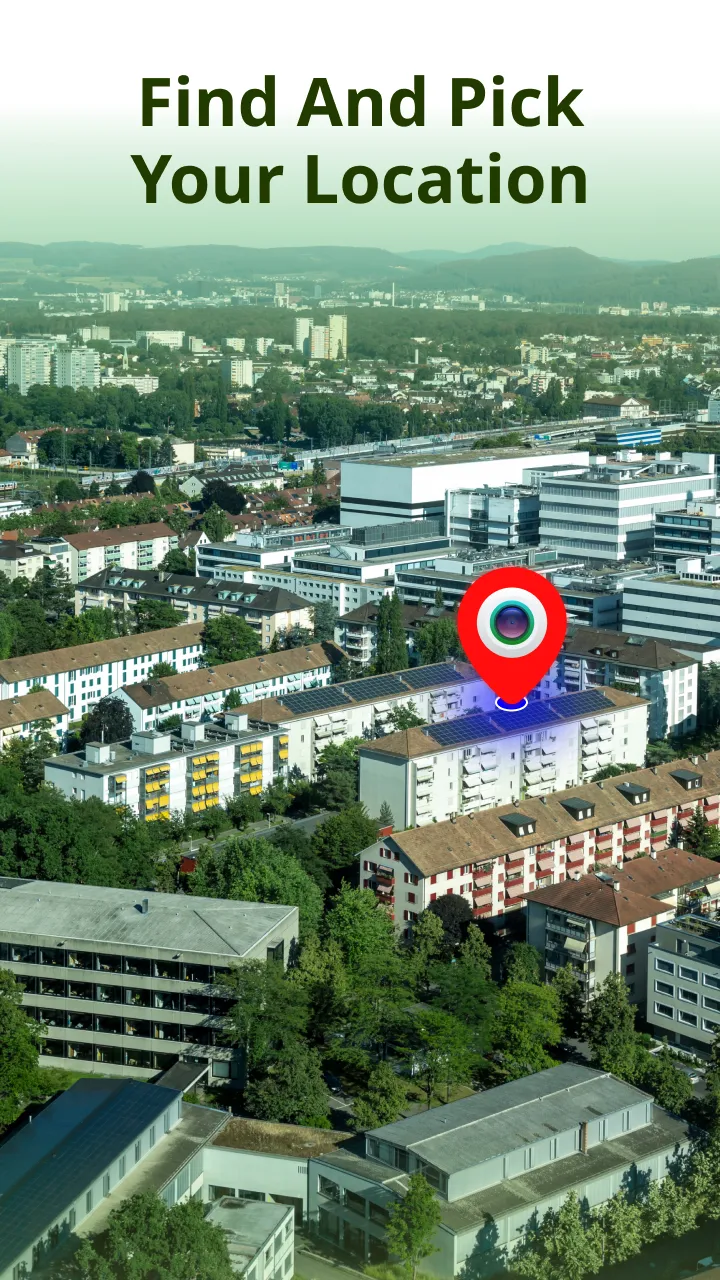
Automatically detect your location using high-accuracy GPS
Set waypoints with map markers or by walking around the area
Add names and notes to saved areas for better organization
Export area and distance data as images or coordinates
Undo or redo steps for error-free measurement
Customize settings and themes for a personalized experience
Popular Use Cases:
Landowners and Real Estate Agents:
Quickly calculate property boundaries and land size before buying or selling.
Farmers and Agriculture Planners:
Measure farmland, crop zones, and irrigation coverage easily.
Construction and Engineering Teams:
Map construction sites and calculate area for material estimation and planning.
Hikers and Campers:
Track hiking paths, scout routes, and measure outdoor distances.
Forestry and Wildlife Professionals:
Survey and manage land in parks, reserves, or remote areas with ease.
Global Utility with Local Accuracy
The GPS Land Area Measurement app supports users around the world. Whether you are in a rural field or an urban area, the app adapts to all terrains and geolocations with high GPS accuracy.
Privacy and Reliability
Your location data is never stored or shared. We ensure full privacy compliance. Thanks to offline capabilities and GPS precision, you can trust the results even in remote regions or offline scenarios.
Download GPS Land Area Measurement Now
Experience fast, reliable, and easy land and distance measuring with one of the most effective tools available on the Play Store. Download the GPS Land Area Measurement app now and simplify your measuring tasks with confidence.
Maps and Navigation
Ratings
0
0 total ratings
5
73%
4
10%
3
4%
2
3%
1
10%
REVIEWS
No reviews yet. Be the first one to review this app

Permissions
Location: access this device"s location
Storage: access photos, media, and files on your device
Internet: use your internet connection
Phone: make and manage phone calls
Curated for YouSee all





Scan to download on PhonePe Appstore