
WBP&RD
4.0
ratings24 MB
SizeVerified
SCREENSHOTS (8)
About the app
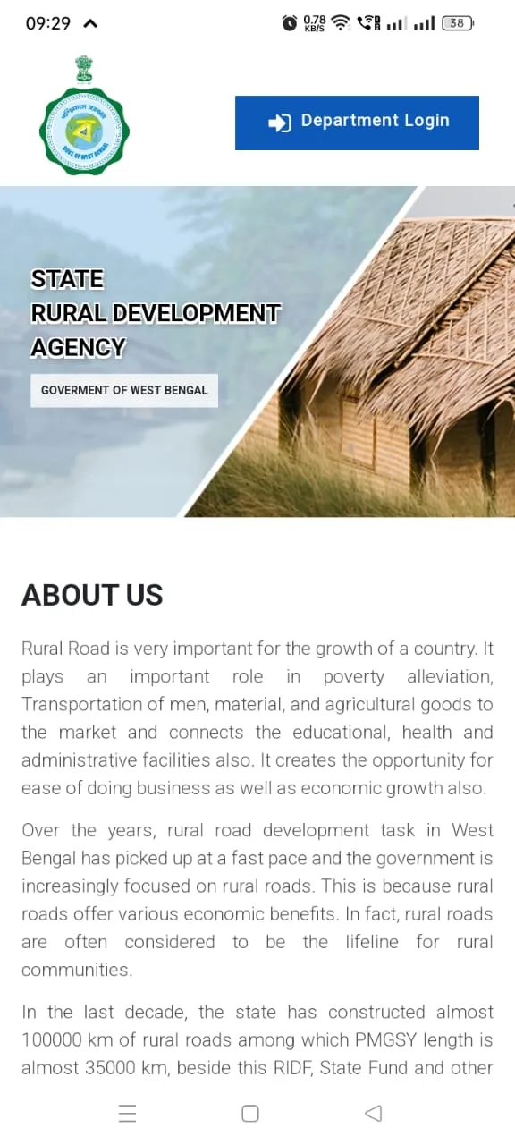
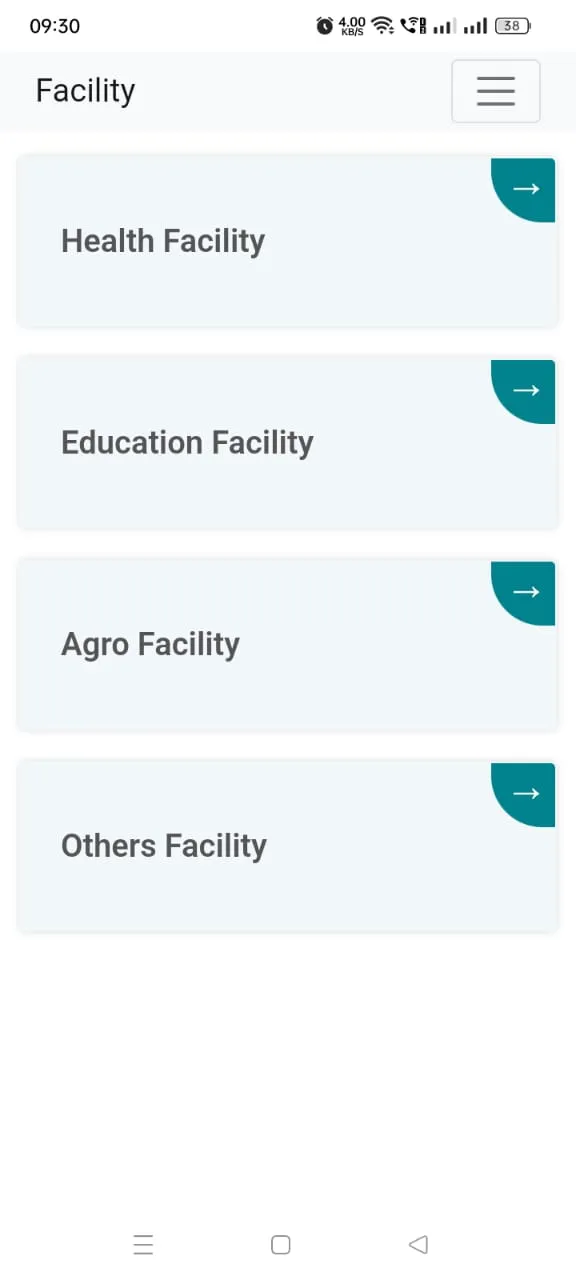
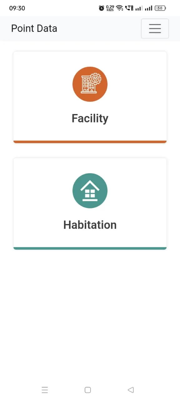
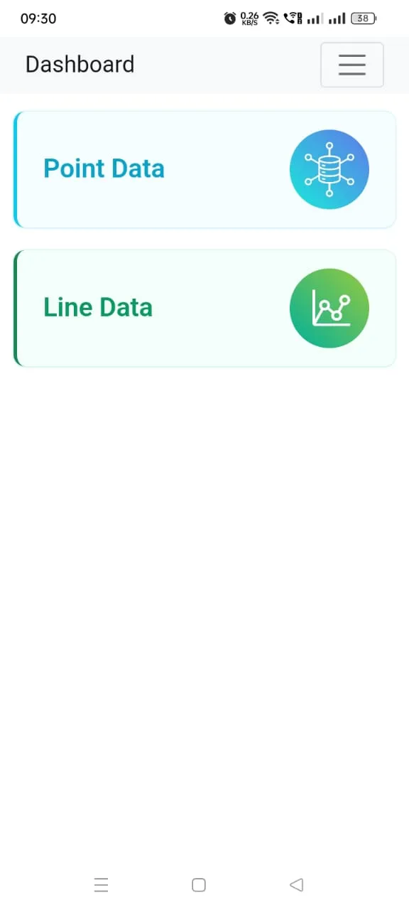
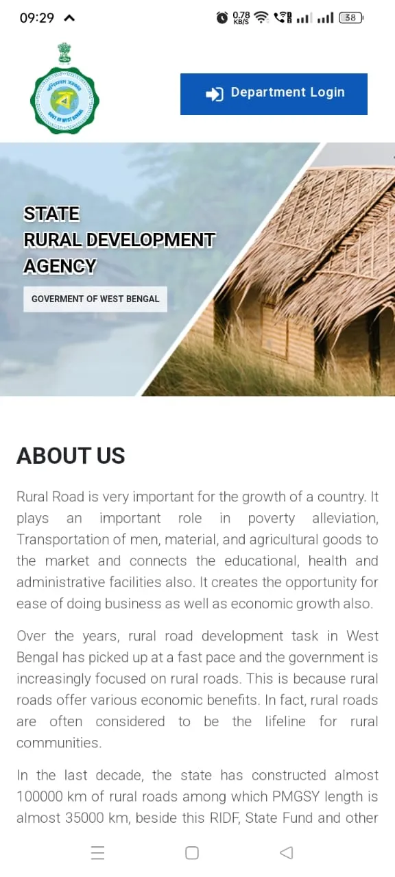
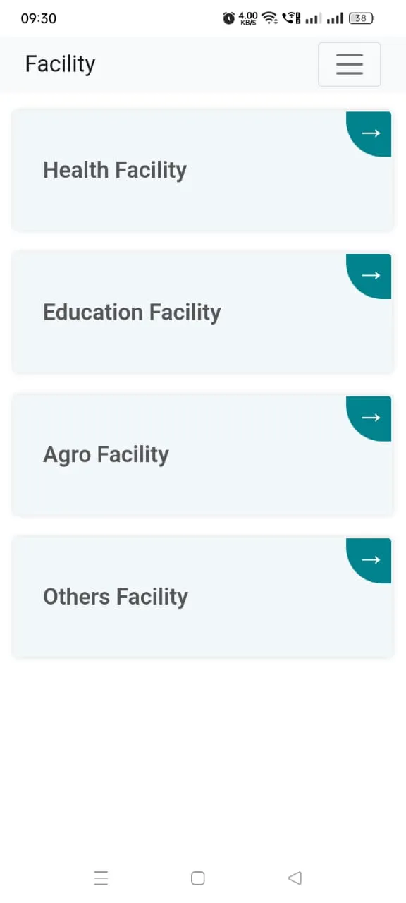
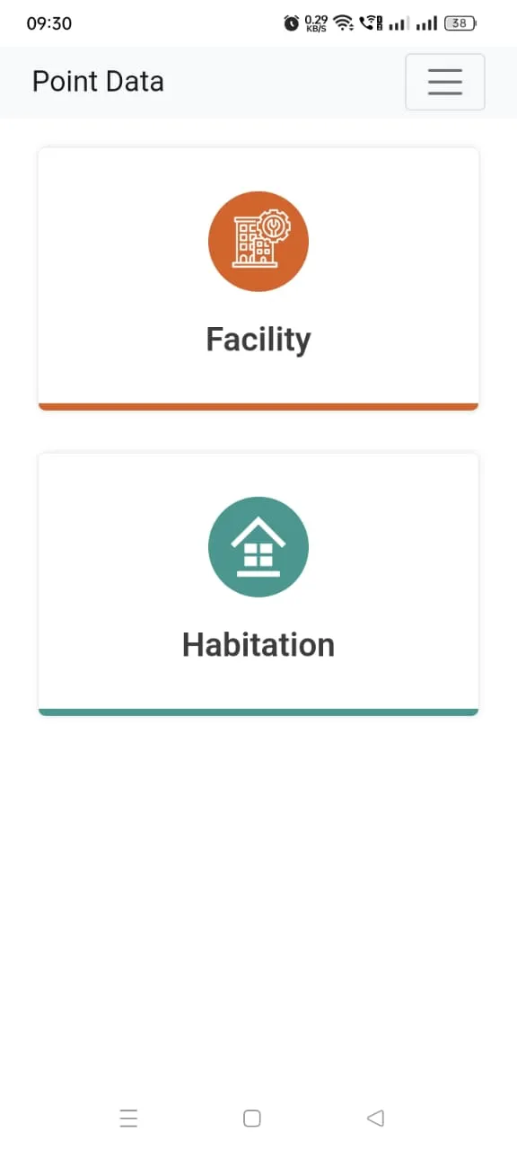
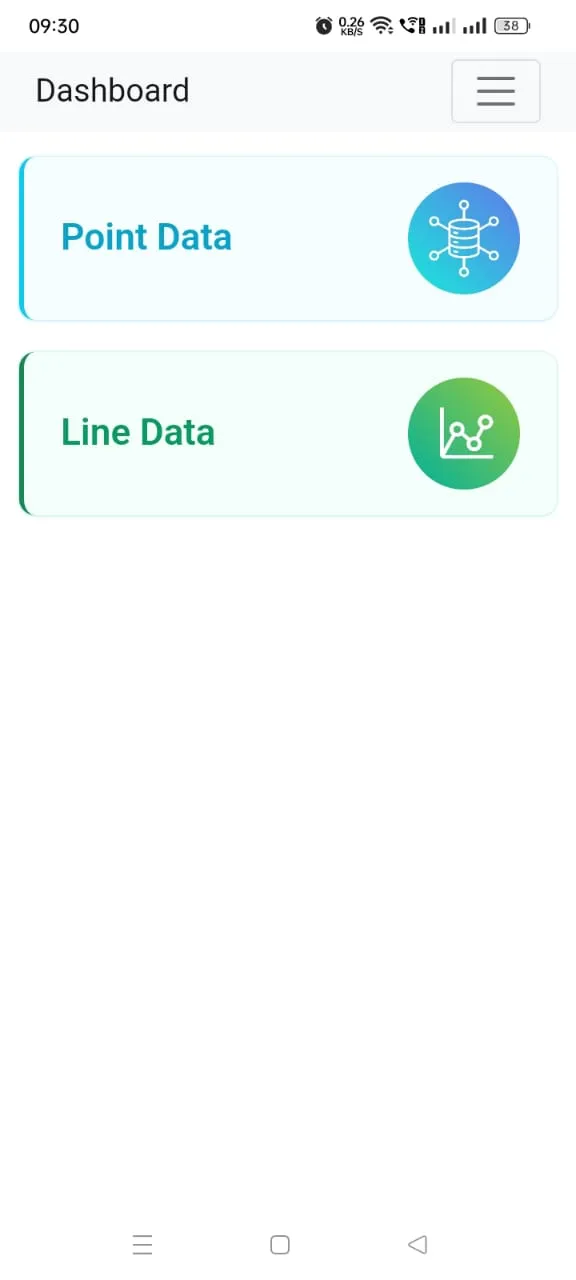
A GIS-based Rural Road Planning & Monitoring App/portal will be introduced at the state level and may use up to the Block level. Almost all the rural facilities (approximately 42000 facilities) like Education (College, ITI, HS Schools, High Schools, Girls Schools), Health (PHC, CHC, Bedded Hospital), Administrative (Block HQ, GP HQ) and other utilities (Bank, Post Office, Rural markets, Cold Storage, Mandi, Agro Industries, Bus Stop, Fuel Station, Rail Station) are already Geotagged by WBSRDA which may be used as input data for proper planning
Lifestyle
Ratings
0
0 total ratings
5
73%
4
10%
3
4%
2
3%
1
10%
REVIEWS
No reviews yet. Be the first one to review this app

Permissions
Location: access this device"s location
Storage: access photos, media, and files on your device
Internet: use your internet connection
Phone: make and manage phone calls
Developer Info
Curated for YouSee all






Scan to download on PhonePe Appstore