

HAXY Developer
4.0
ratings7 MB
SizeVerified
SCREENSHOTS (8)
About the app
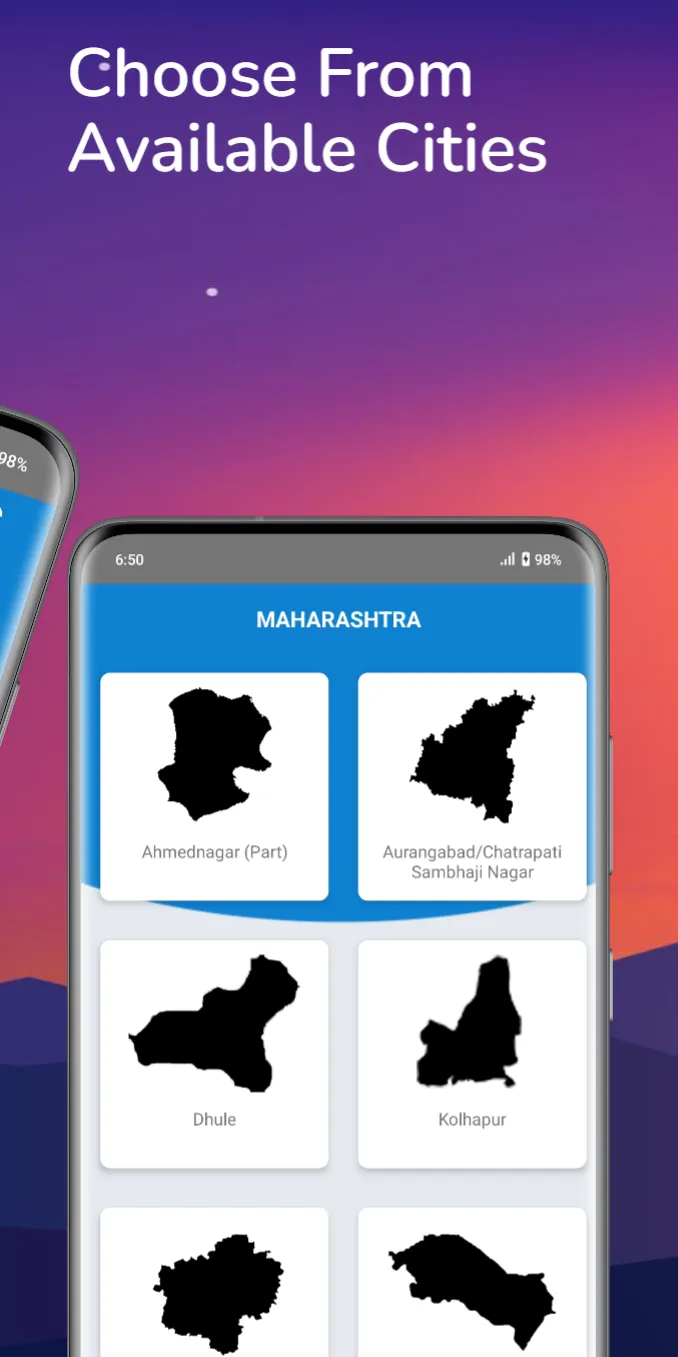
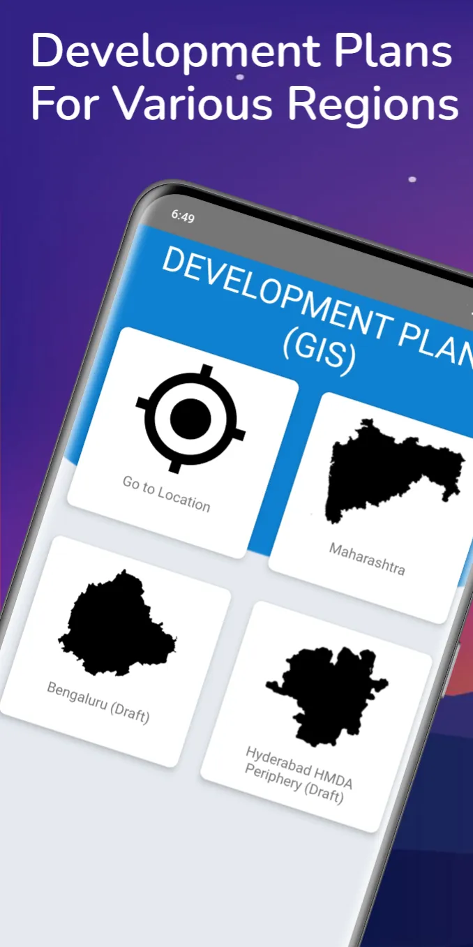
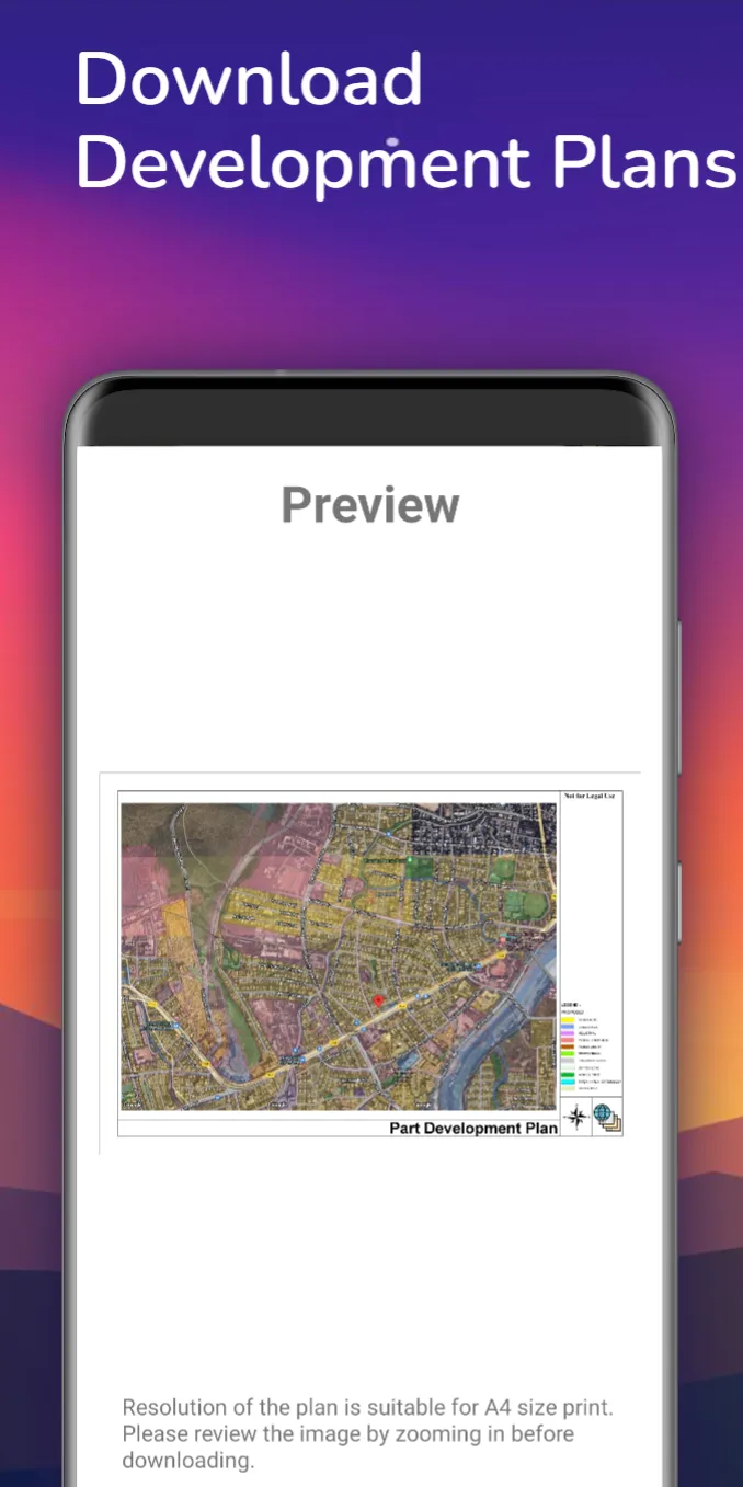
This app shows Development plans for Following Cities
Metropolitan City
a) Hyderabad HMDA Peripheral Area Development Plan (Draft)
b) Benguluru Development Plan (Draft )
1) Navi Mumbai Development Plan
2) Vasai-Virar/ Nala- Sopara Development Plan
3) Pune Metropolitan Region Development Authority (PMRDA)
4) Pune City Development Plan
5) Solapur District Development Plan
6) Kolhapur City Development Plan
7) Satara City Development Plan
8) Nashik City Development Plan
9) Mira- Bhayandar Development Plan
10) Sangli Miraj City Development Plan
11) Thane/ Dombivli (Part)/ Bhivandi City/ Ulhasnagar Development Plan
12) Aurangabad District part plans
13) Osmanabad City Development Plan
14) Latur City Development Plan
15) Ahmednagar City Development Plan
16) Baramati inner DP plan
17) Nagpur Metropolitan Regional DP plan
18) Dhule City Development Plan
19) Jalna City Development Plan
20) Hingoli City Development Plan
21) Akola City Development Plan
22) Amravati Development Plan
Source : https://dtp.maharashtra.gov.in, https://www.hmda.gov.in/master-planning-2031/
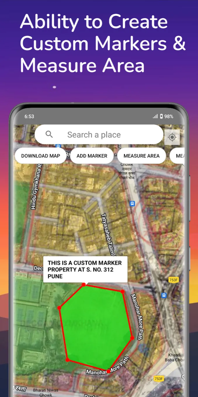
Now you can measure Length and Area on Map...
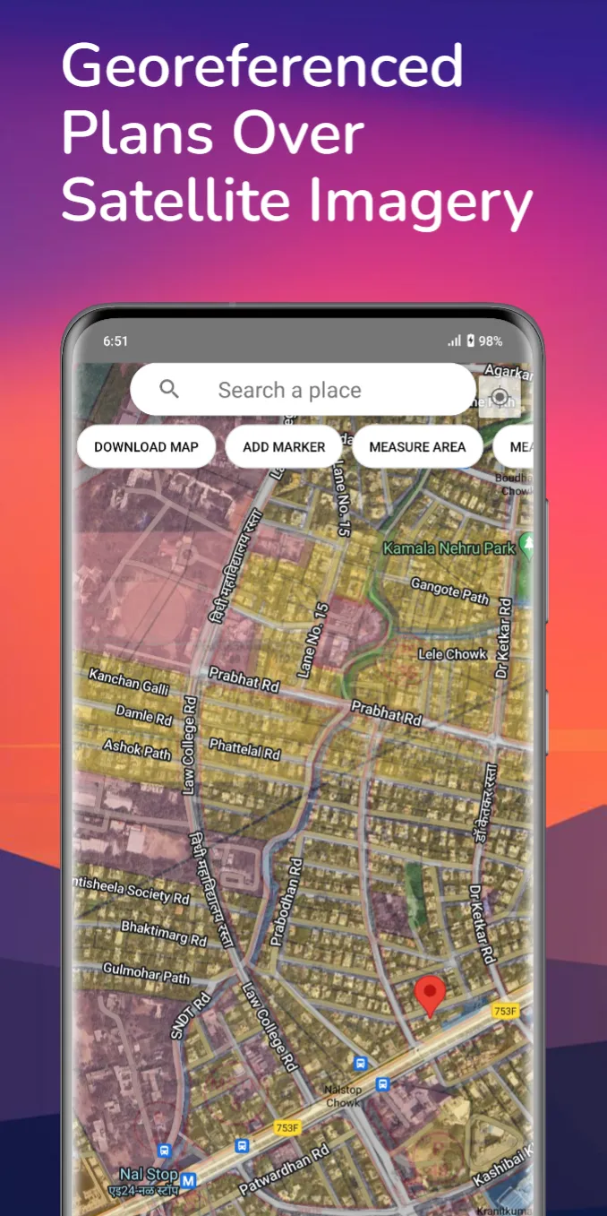
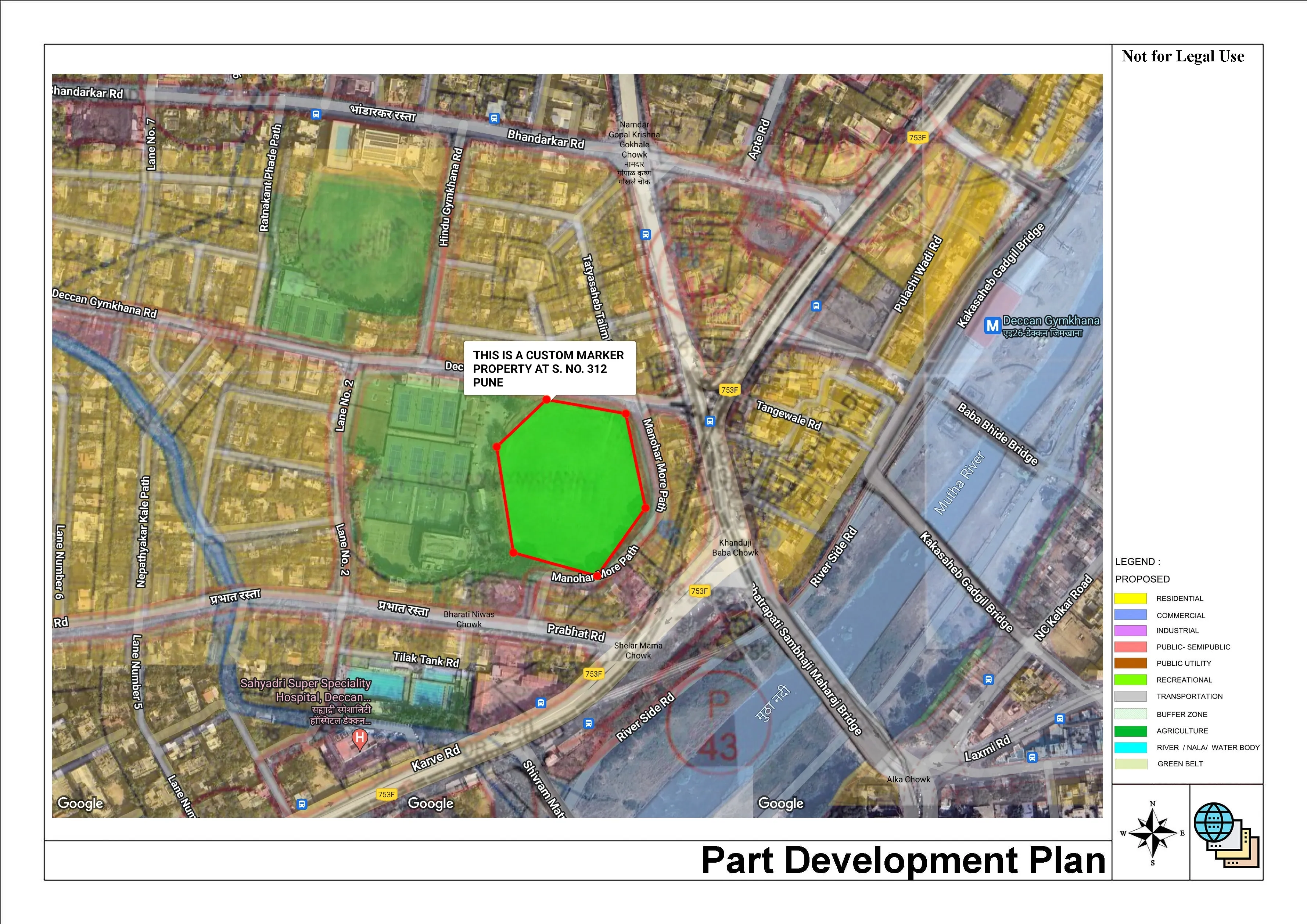
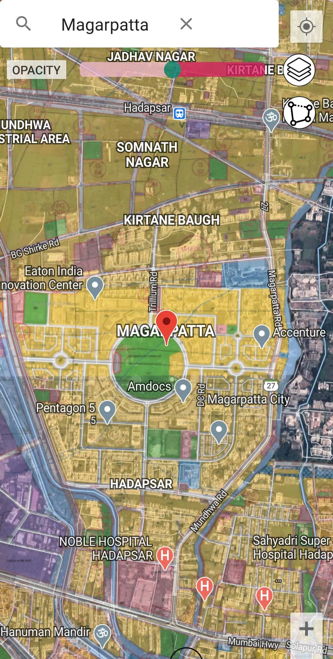
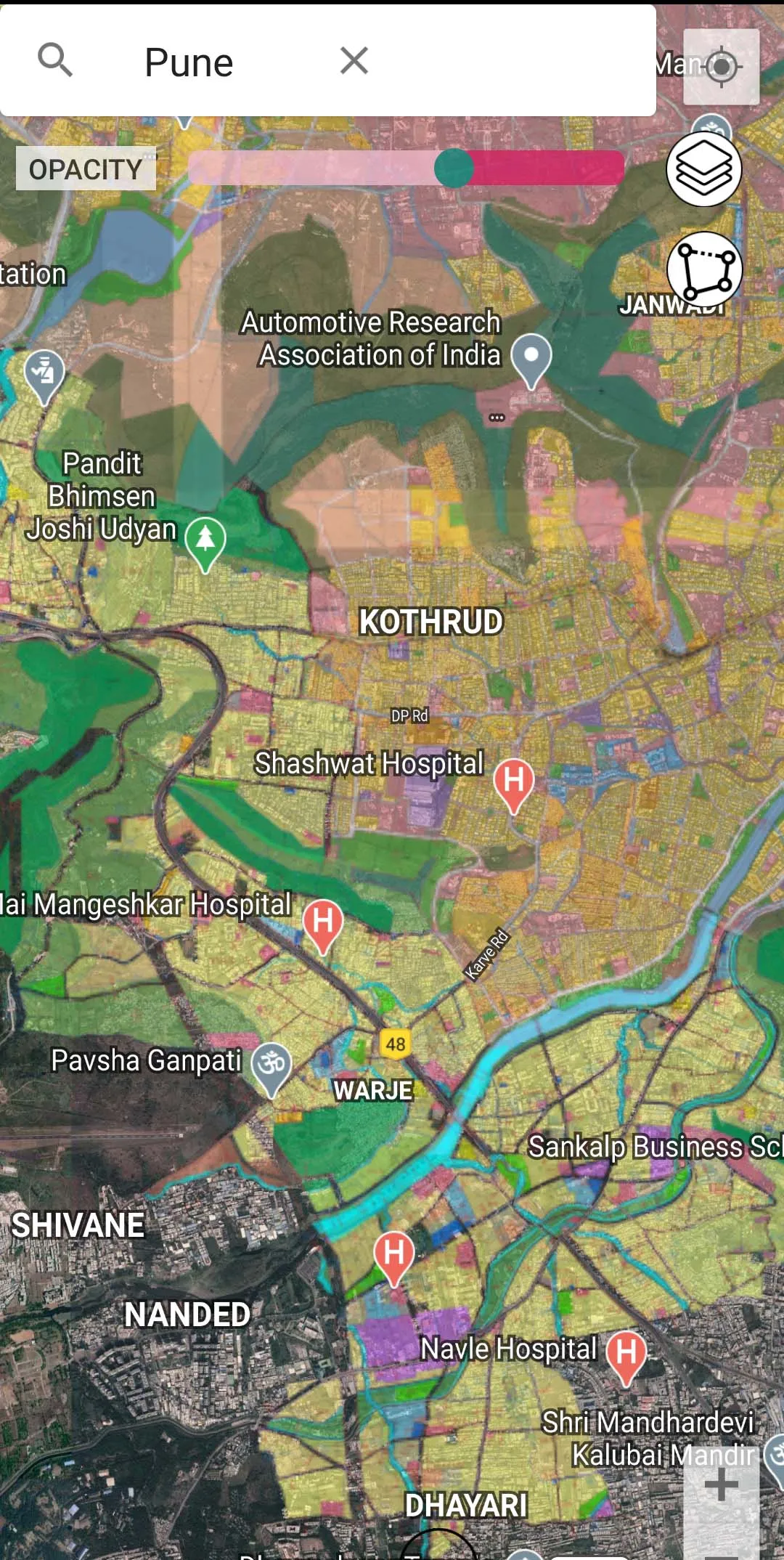
The app is a GIS (Geographic Information System) application that provides an interactive platform to visualize the development plans of cities. The app allows users to see the development plans of cities overlaid on satellite imagery, providing a comprehensive view of the area in question. This makes it a useful tool for developers, Valuers, perspective buyers, and anyone interested in obtaining detailed information about a specific area within a city.
Disclaimer : This app is not affiliated with any government agency. The information in this app is provided for informational purposes only and should not be used as a substitute for professional advice. It is a third-party app that provides information about government Development plans by overlapping it over the Satellite imagery. The information in this app is sourced from government websites and documents. However, government information can change frequently. Please verify the latest information on your end before taking any action. App doesn’t represent a government entity. App is for reference purpose only and not for legal use.
Business
Ratings
0
0 total ratings
5
73%
4
10%
3
4%
2
3%
1
10%
REVIEWS
No reviews yet. Be the first one to review this app

Permissions
Location: access this device"s location
Storage: access photos, media, and files on your device
Biometric Information: access biometric data like fingerprint to unlock the app
Internet: use your internet connection
Curated for YouSee all





Scan to download on PhonePe Appstore