

Airace
4.0
ratings79 MB
SizeVerified
SCREENSHOTS (8)
About the app
Airace One Enterprise is a professional GNSS app for RTK surveying, stakeout, and data collection. Designed for field engineers and surveyors, it supports Airace and third-party GNSS devices to deliver centimeter-level accuracy through NTRIP corrections.
Whether you're in the field conducting a high-precision land survey, staking out complex site plans, or navigating rugged terrain, Airace One Enterprise App delivers unmatched precision, flexibility, and control — all in your pocket.
KEY FEATURES:
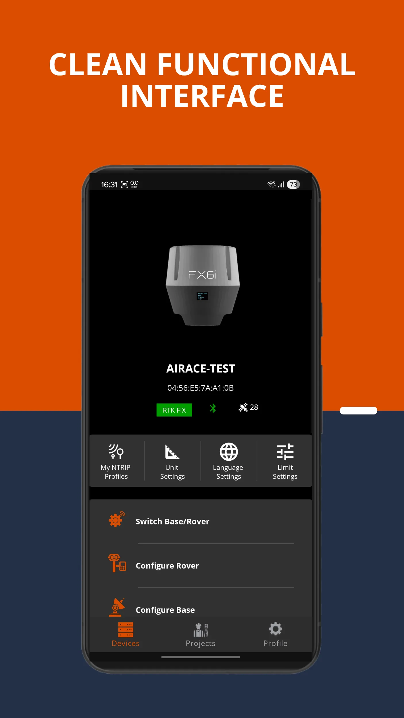
• Wide GNSS Device Compatibility: Connect seamlessly with Airace RTK devices, third-party GNSS receivers, and built-in mobile GPS. Supports connection via Bluetooth.
• RTK Correction with NTRIP: Stream RTCM corrections from NTRIP servers to enable real-time kinematic (RTK) precision, ideal for high-accuracy field tasks.
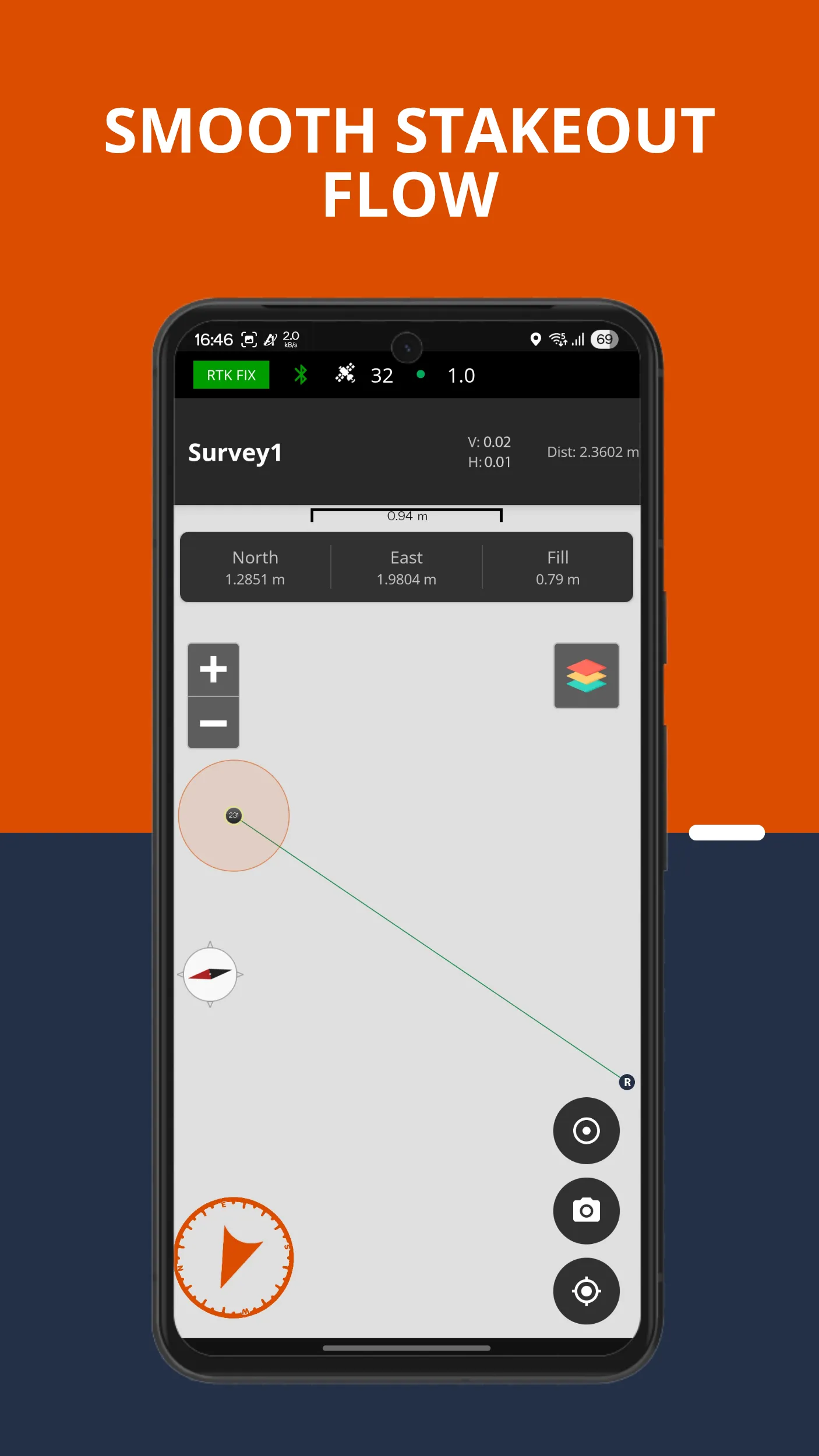
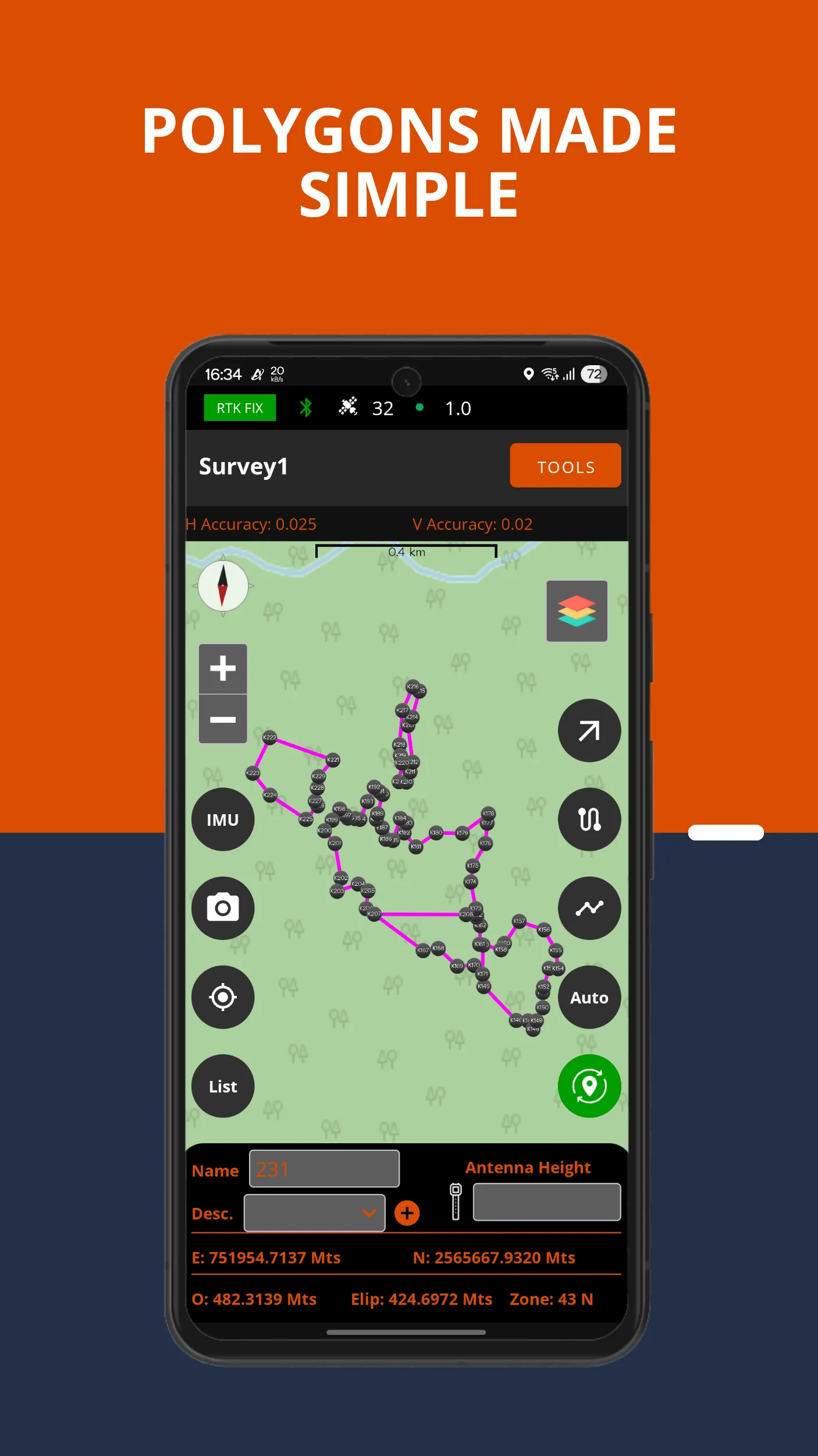
• Point, Line, Polygon Capture & Stakeout: Capture and stakeout points, lines, and polygons with intuitive tools. Includes CAD stakeout, coordinate-based stakeout, and auto-tracking of survey paths.
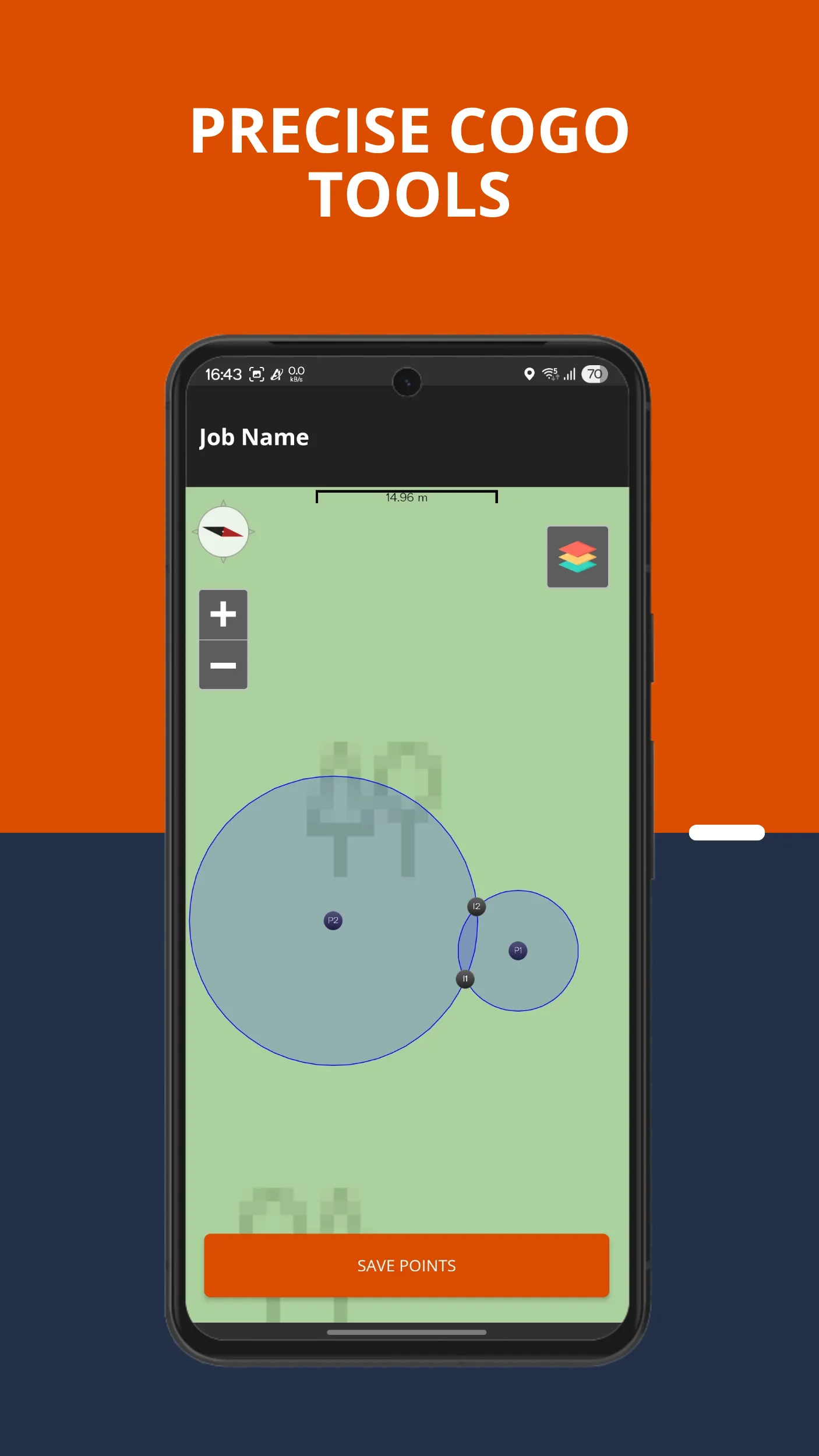
• Advanced CAD & COGO Tools: Perform Coordinate Geometry (COGO) operations directly within the app—essential for layout, design, and boundary work.
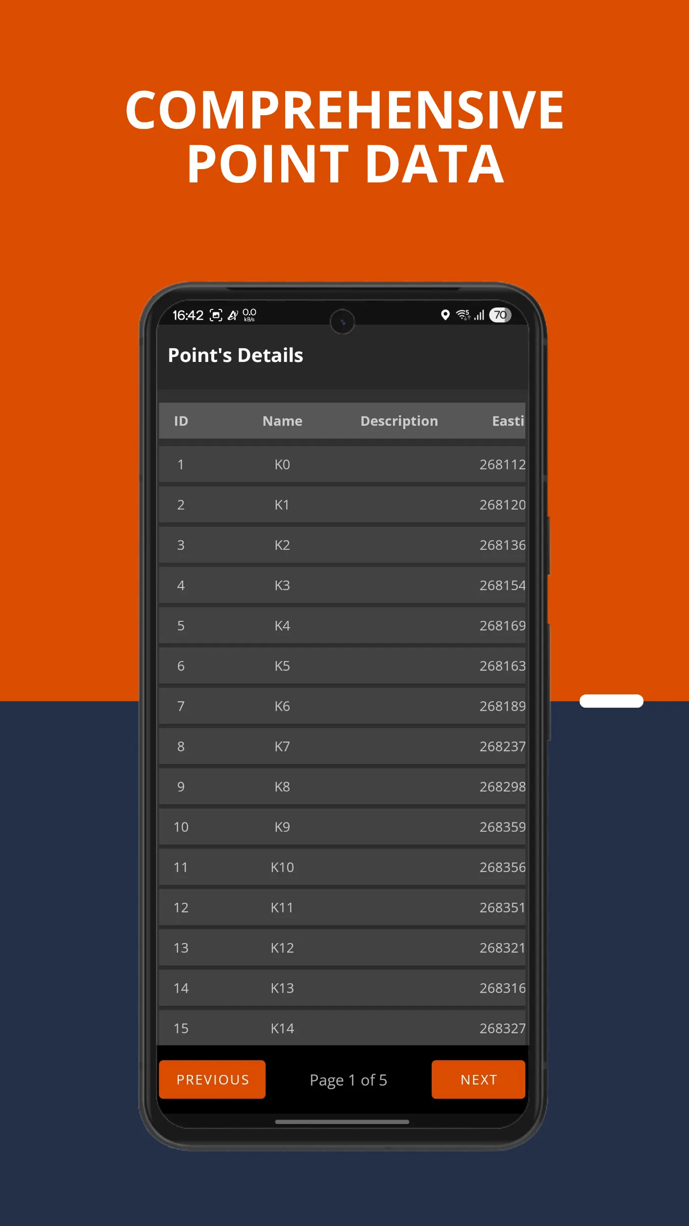
• Import & Export Geospatial Data: Easily handle professional formats including SHP, DXF, KML, and CSV for smooth integration with CAD, GIS, and mapping software.
• Path Tracking for Remote Safety: Track your entire survey path to ensure safe navigation and return from remote field locations.
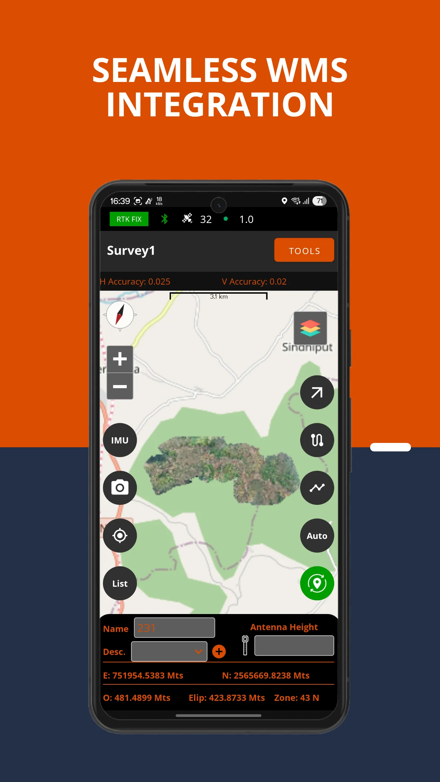
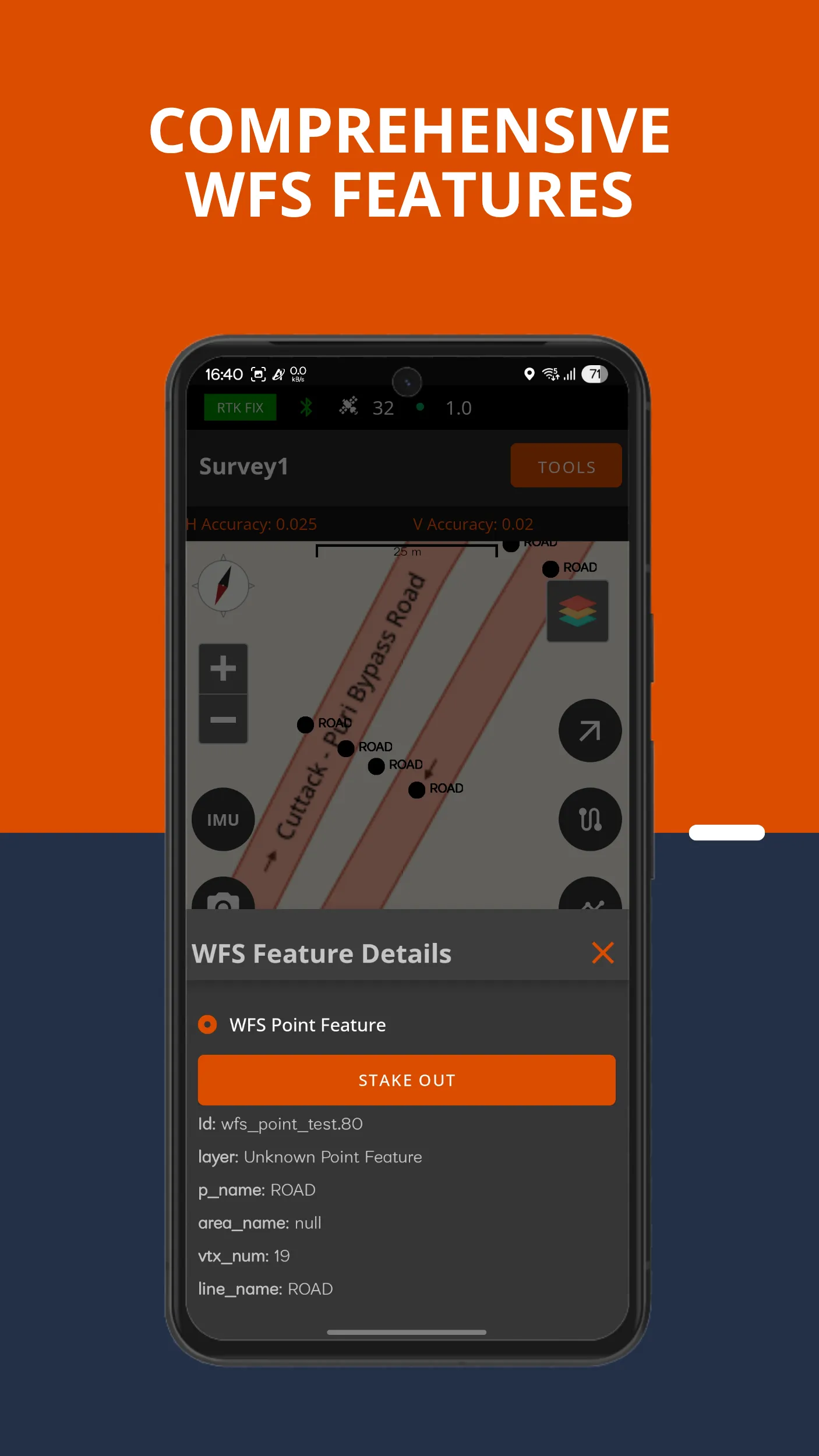
• Multi-Layer Map Support: View and overlay multiple map types, including satellite imagery, topographic maps, and custom WMS/WFS services. Supports live editing of WFS features with auto-updating attributes.
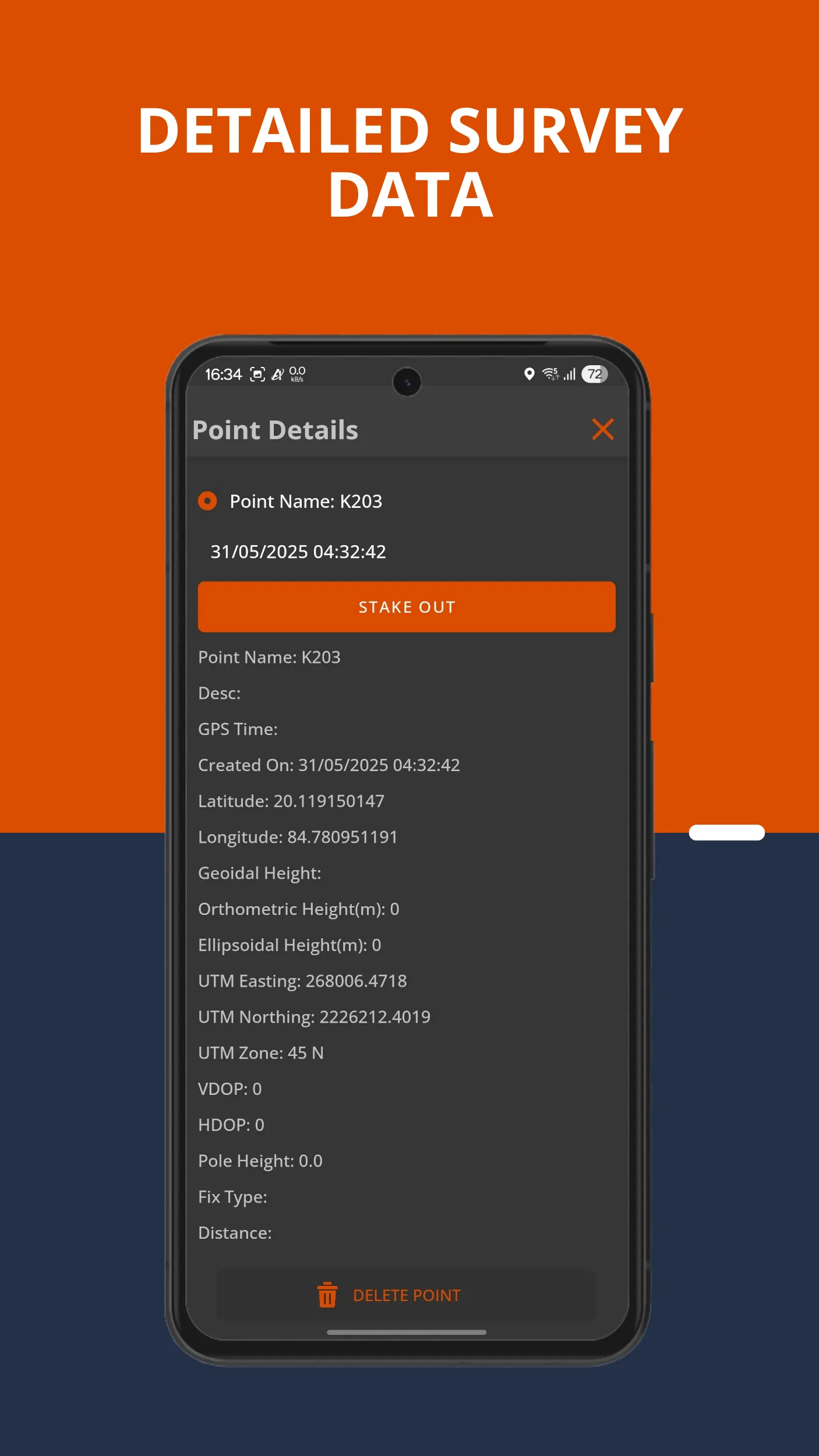
• Geotagged Media Integration: Capture and attach geotagged images to survey points and features for better documentation and project reporting.
Vertical & Horizontal Coordinate Systems: Work with various coordinate systems, including WGS84, UTM, and local grids. Vertical models include EGM 2008 and EGM 96 for height accuracy.
• Survey Calculations & Local Adjustments: Calculate distance, area, elevation, perform localization, grid-to-ground transformations, base shift, and more.
• Line/Polygon Tools & Geometry Editing: Easily divide lines, split polygons, add point codes, and manage spatial geometries on the fly.
• Base Station Tools & IMU Support: Configure your Airace receiver directly from the app (rover/base modes). View base details, sky plots, and record UBX raw data. Enable IMU tilt compensation for accurate positioning even on slopes.
• Automated Point Collection: Collect points automatically based on time intervals or distance thresholds, boosting efficiency in large-scale surveys.
• Units & Localization: Supports various measurement units:
- Length: meters, feet
- Area: sq. meters, sq. feet, acres, hectares, gunthas.
- Languages: English, Hindi, Telugu, Bengali, Kannada, Odia (Oriya)
BENEFITS:
• Centimetre-Level Accuracy: Achieve precision with RTK GNSS integration and IMU support.
• Field-Ready Design: Optimized for on-site work in surveying, civil construction, and geospatial mapping.
• All-in-One Survey Toolkit: Replace multiple devices with a single, mobile-friendly app that does it all.
• Seamless Integration: Import/export industry-standard file types for smooth workflow with other software platforms.
• Enhanced Safety & Collaboration: Track movements, generate shareable reports, and collaborate efficiently with team members or clients.
IDEAL FOR:
• Professional Surveyors
• Civil & Site Engineers
• GIS & Geospatial Experts
• Agriculture & Land Management
• Urban Planning
• Archaeology & Environmental Sciences
Download Airace One Enterprise today and take full control of your fieldwork with an advanced, professional-grade mobile GNSS solution. Whether you’re mapping, staking out, or collecting topographic data — Airace One Enterprise ensures you never miss a point.
Business
Ratings
0
0 total ratings
5
73%
4
10%
3
4%
2
3%
1
10%
REVIEWS
No reviews yet. Be the first one to review this app

Permissions
Location: access this device"s location
Storage: access photos, media, and files on your device
Internet: use your internet connection
Phone: make and manage phone calls
Developer Info
Curated for YouSee all





Scan to download on PhonePe Appstore